UN/LOCODE hub · Vietnam
VNCUV

Cua Viet Port

16.9000°, 107.1667°
2
Transport functions

Transport Functions

Port
Road
UN/LOCODE

Hub Profile

Region
25
GeoNames

Location

Location of VNCUV
Natural Earth 10m (public domain) · 25 · VNCUV · 16.90, 107.17GoogleOSMYandex

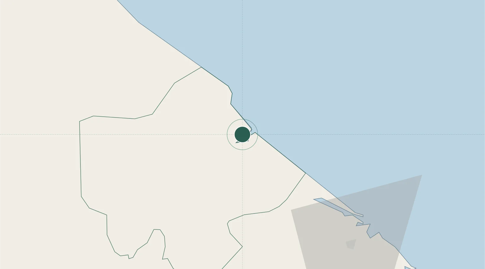
Nearby Logistics Neighbours

Cities
  1. 1Tan Dinh23 km
  2. 2Quang Ninh79 km
  3. 3Phú Bai85 km
  4. 4Chan May Port109 km
  5. 5Quäng Bình111 km
Nearest neighbours — logibook spatial index (haversine) over the source coordinates
Ports
  1. 1Da Nang143 km
  2. 2Nghe Tinh255 km
  3. 3Basuo289 km
  4. 4Sanya289 km
  5. 5Yangpu380 km
Nearest neighbours — logibook spatial index (haversine) over the source coordinates
Airports
  1. 1Phu Bai International Airport80 km
  2. 2Dong Hoi Airport92 km
  3. 3Da Nang International Airport146 km
  4. 4Chu Lai Airport234 km
  5. 5Pakse International Airport246 km
Nearest neighbours — logibook spatial index (haversine) over the source coordinates
Trade Zones
  1. 1Nam Dong Ha Industrial Zone12 km
  2. 2Tu Ha Industrial Zone53 km
  3. 3Bang Industrial Zone54 km
  4. 4Lao Bao Special Trade-Economic Zone69 km
  5. 5Phu Bai Industrial Zone80 km
Nearest neighbours — logibook spatial index (haversine) over the source coordinates
DatabookThe Record of Consolidated Knowledge
Vietnam beyond logistics?
Browse databook

All Sources

LocationsUN/LOCODE
UN/LOCODE — free
Portsthe NGA World Port Index
Public domain (US gov)
AirportsOurAirports
Public domain
Trade Zonesthe World Bank SEZ database
CC BY 4.0
Trade ZonesOpen Zone Map
CC BY
← Vietnam locations