UN/LOCODE hub · Vietnam
VNTGA

Tan Dinh

16.8000°, 106.9833°
2
Transport functions

Transport Functions

Road
Multimodal
UN/LOCODE

Hub Profile

Place type
Urban district
GeoNames
Region
Ho Chi Minh City (HCMC)
GeoNames
Time zone
Asia/Ho_Chi_Minh
GeoNames
Elevation
10 m
GeoNames

Location

Location of VNTGA
Natural Earth 10m (public domain) · Ho Chi Minh City (HCMC) · VNTGA · 16.80, 106.98GoogleOSMYandex

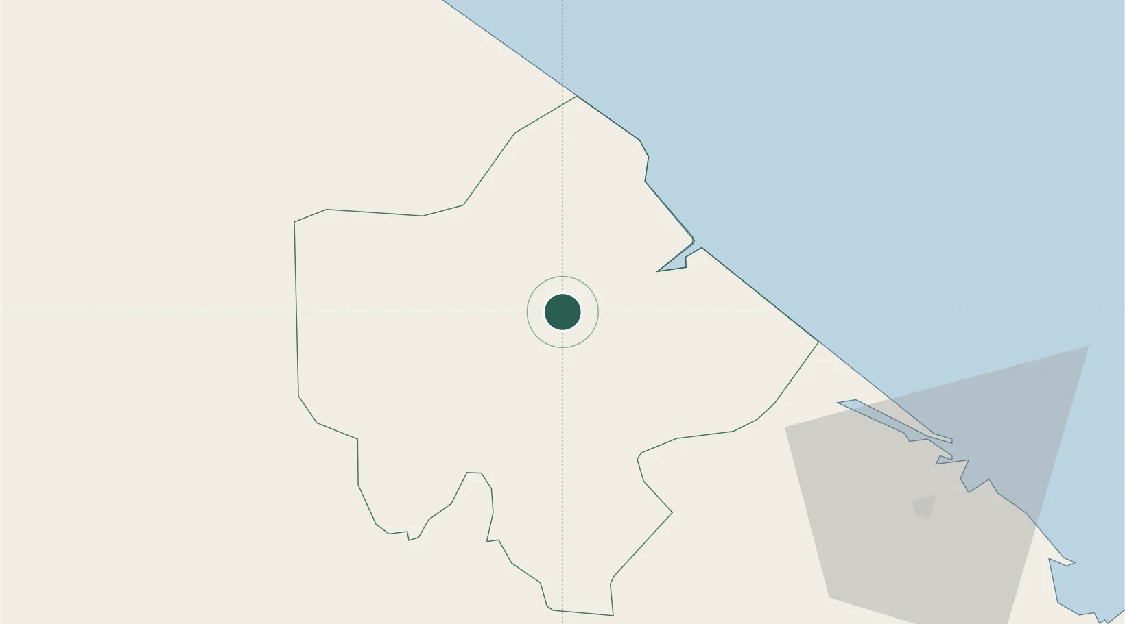
Nearby Logistics Neighbours

Cities
  1. 1Cua Viet Port23 km
  2. 2Quang Ninh76 km
  3. 3Phú Bai93 km
  4. 4Quäng Bình104 km
  5. 5Chan May Port120 km
Nearest neighbours — logibook spatial index (haversine) over the source coordinates
Ports
  1. 1Da Nang153 km
  2. 2Nghe Tinh254 km
  3. 3Basuo309 km
  4. 4Sanya311 km
  5. 5Yangpu400 km
Nearest neighbours — logibook spatial index (haversine) over the source coordinates
Airports
  1. 1Phu Bai International Airport89 km
  2. 2Dong Hoi Airport90 km
  3. 3Da Nang International Airport155 km
  4. 4Pakse International Airport226 km
  5. 5Savannakhet Airport238 km
Nearest neighbours — logibook spatial index (haversine) over the source coordinates
Trade Zones
  1. 1Nam Dong Ha Industrial Zone12 km
  2. 2Lao Bao Special Trade-Economic Zone46 km
  3. 3Bang Industrial Zone49 km
  4. 4Tu Ha Industrial Zone61 km
  5. 5Tay Bac Quan Hau Industrial Zone77 km
Nearest neighbours — logibook spatial index (haversine) over the source coordinates
DatabookThe Record of Consolidated Knowledge
Vietnam beyond logistics?
Browse databook

All Sources

LocationsUN/LOCODE
UN/LOCODE — free
Portsthe NGA World Port Index
Public domain (US gov)
AirportsOurAirports
Public domain
Trade Zonesthe World Bank SEZ database
CC BY 4.0
Trade ZonesOpen Zone Map
CC BY
← Vietnam locations