Transport Functions
Port
Road
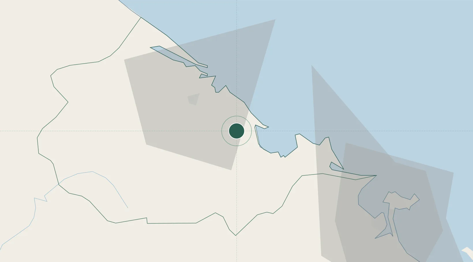
Hub Profile
Place type
Populated place
Region
Thừa Thiên Huế Province
Time zone
Asia/Ho_Chi_Minh
Elevation
3 m
Location
Nearby Logistics Neighbours
Cities
- 1Chan May Port29 km
- 2Tien Sa Terminal57 km
- 3Da Nang61 km
- 4Hai Son61 km
- 5Nguyen Van Troi Port63 km
Airports
- 1Phu Bai International Airport5 km
- 2Da Nang International Airport61 km
- 3Chu Lai Airport149 km
- 4Dong Hoi Airport176 km
- 5Pakse International Airport250 km
Trade Zones
DatabookThe Record of Consolidated Knowledge
Vietnam beyond logistics?