Diversified Zone · Vietnam

Tu Ha Industrial Zone Active
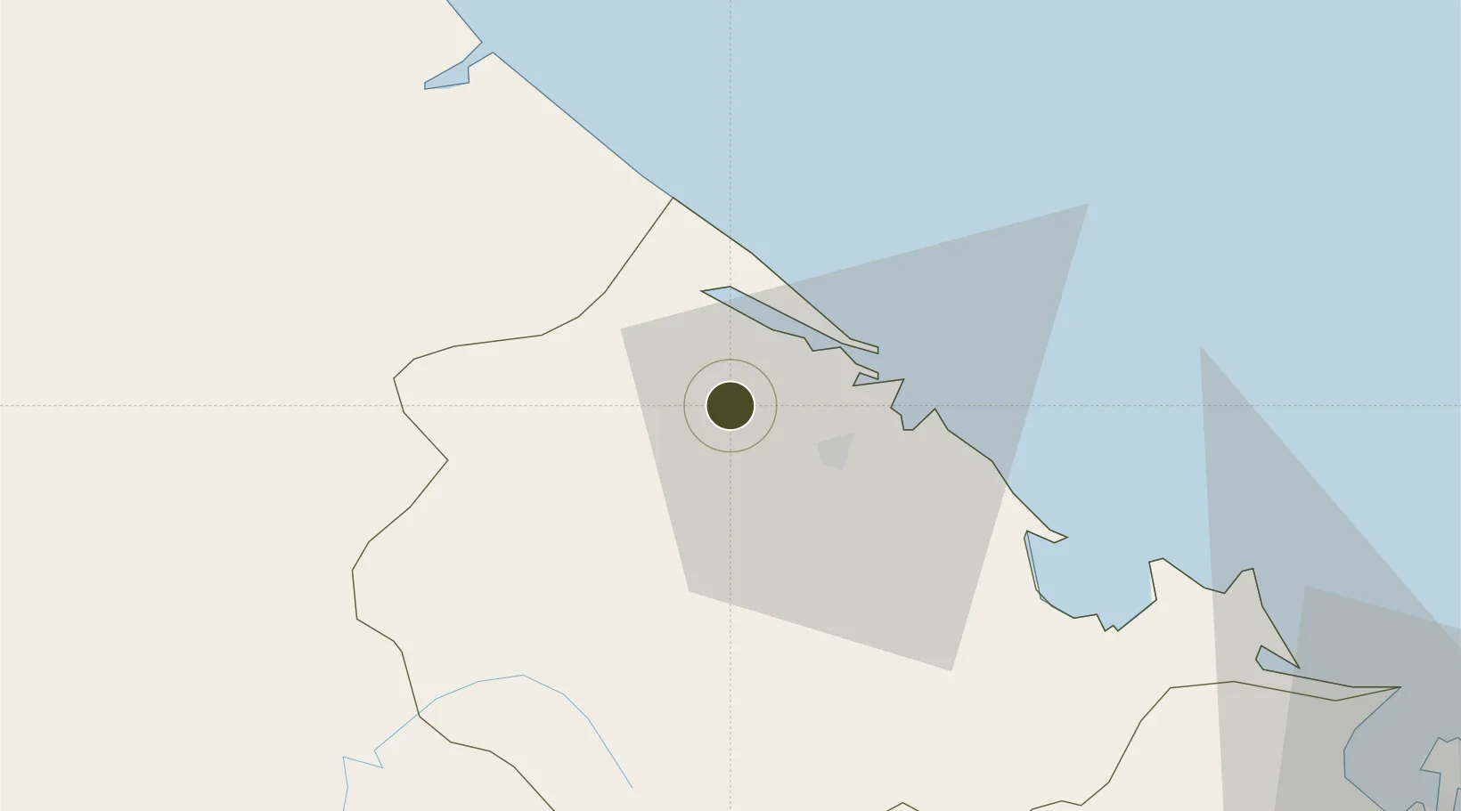
16.5232°, 107.4744°
250 ha
Zone area
92.1 km
Nearest port
27.9 km
Nearest airport

Gateway access

Nearest neighbours — logibook spatial index (haversine) over the source coordinates

Zone profile

Zone type
Diversified Zone
Open Zone Map
Region
Thừa Thiên - Huế
Open Zone Map
Status
Active
Open Zone Map
Management
Public
Open Zone Map
Operator
Economic and Industrial Zone Authority of Thua Thien Hue province
Open Zone Map
Legal framework
Decree No.82/2018/ND-CP on Management of Industrial Parks and Economic Zones, Decree No 218/2013/ND-CP
Open Zone Map

Location

Location of ozm-5115
Natural Earth 10m (public domain) · Thừa Thiên - Huế · ozm-5115 · 16.52, 107.47GoogleOSMYandex

Nearby Logistics Neighbours

Ports
  1. 1Da Nang92 km
  2. 2Sanya289 km
  3. 3Nghe Tinh308 km
  4. 4Basuo311 km
  5. 5Qui Nhon360 km
Nearest neighbours — logibook spatial index (haversine) over the source coordinates
Airports
  1. 1Phu Bai International Airport28 km
  2. 2Da Nang International Airport94 km
  3. 3Dong Hoi Airport145 km
  4. 4Chu Lai Airport181 km
  5. 5Pakse International Airport238 km
Nearest neighbours — logibook spatial index (haversine) over the source coordinates
Cities
  1. 1Phú Bai33 km
  2. 2Cua Viet Port53 km
  3. 3Chan May Port60 km
  4. 4Tan Dinh61 km
  5. 5Tien Sa Terminal90 km
Nearest neighbours — logibook spatial index (haversine) over the source coordinates
Trade Zones
  1. 1Phu Bai Industrial Zone28 km
  2. 2Nam Dong Ha Industrial Zone52 km
  3. 3Chan May - Lang Co Economic Zone (Hue)63 km
  4. 4Lien Chieu Industrial Park81 km
  5. 5Hoa Khanh Expanded Industrial Park84 km
Nearest neighbours — logibook spatial index (haversine) over the source coordinates
DatabookThe Record of Consolidated Knowledge
Vietnam beyond logistics?
Browse databook

All Sources

Trade ZonesOpen Zone Map
CC BY
Portsthe NGA World Port Index
Public domain (US gov)
AirportsOurAirports
Public domain
LocationsUN/LOCODE
UN/LOCODE — free
← Vietnam trade zones