Diversified Zone · Vietnam

Tay Bac Quan Hau Industrial Zone Under Development
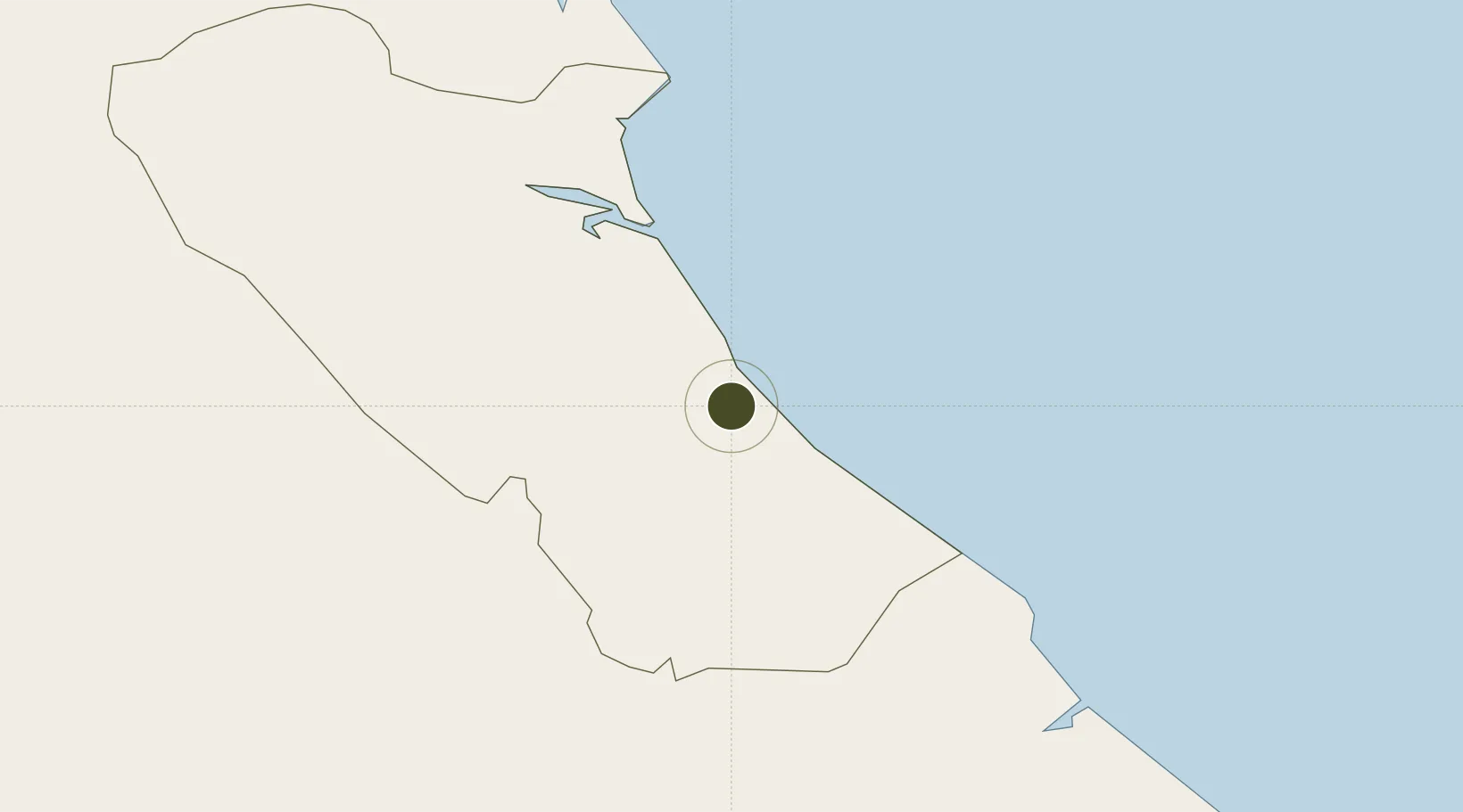
17.4057°, 106.6259°
220 ha
Zone area
176.5 km
Nearest port
12.7 km
Nearest airport

Gateway access

Nearest neighbours — logibook spatial index (haversine) over the source coordinates

Zone profile

Zone type
Diversified Zone
Open Zone Map
Region
Quảng Bình
Open Zone Map
Status
Under Development
Open Zone Map
Management
Public
Open Zone Map
Operator
Quang Binh Economic Zone Authority
Open Zone Map
Legal framework
Decree No.82/2018/ND-CP on Management of Industrial Parks and Economic Zones, Decree No 218/2013/ND-CP
Open Zone Map

Location

Location of ozm-259
Natural Earth 10m (public domain) · Quảng Bình · ozm-259 · 17.41, 106.63GoogleOSMYandex

Nearby Logistics Neighbours

Ports
  1. 1Nghe Tinh177 km
  2. 2Da Nang223 km
  3. 3Basuo282 km
  4. 4Sanya316 km
  5. 5Yangpu374 km
Nearest neighbours — logibook spatial index (haversine) over the source coordinates
Airports
  1. 1Dong Hoi Airport13 km
  2. 2Phu Bai International Airport160 km
  3. 3Vinh Airport179 km
  4. 4Nakhon Phanom Airport210 km
  5. 5Savannakhet Airport220 km
Nearest neighbours — logibook spatial index (haversine) over the source coordinates
Cities
  1. 1Quang Ninh1 km
  2. 2Quäng Bình33 km
  3. 3Hon La Port60 km
  4. 4Vung Áng76 km
  5. 5Tan Dinh77 km
Nearest neighbours — logibook spatial index (haversine) over the source coordinates
Trade Zones
  1. 1Hòn La Port Industrial Zone8 km
  2. 2Hòn La Industrial Zone Ii8 km
  3. 3Tay Bac Dong Hoi Industrial Zone9 km
  4. 4(Tay) Đồng Hới Industrial Park10 km
  5. 5Bac Đồng Hới Industrial Zone15 km
Nearest neighbours — logibook spatial index (haversine) over the source coordinates
DatabookThe Record of Consolidated Knowledge
Vietnam beyond logistics?
Browse databook

All Sources

Trade ZonesOpen Zone Map
CC BY
Portsthe NGA World Port Index
Public domain (US gov)
AirportsOurAirports
Public domain
LocationsUN/LOCODE
UN/LOCODE — free
← Vietnam trade zones