Economic Zone · Vietnam

Lao Bao Special Trade-Economic Zone
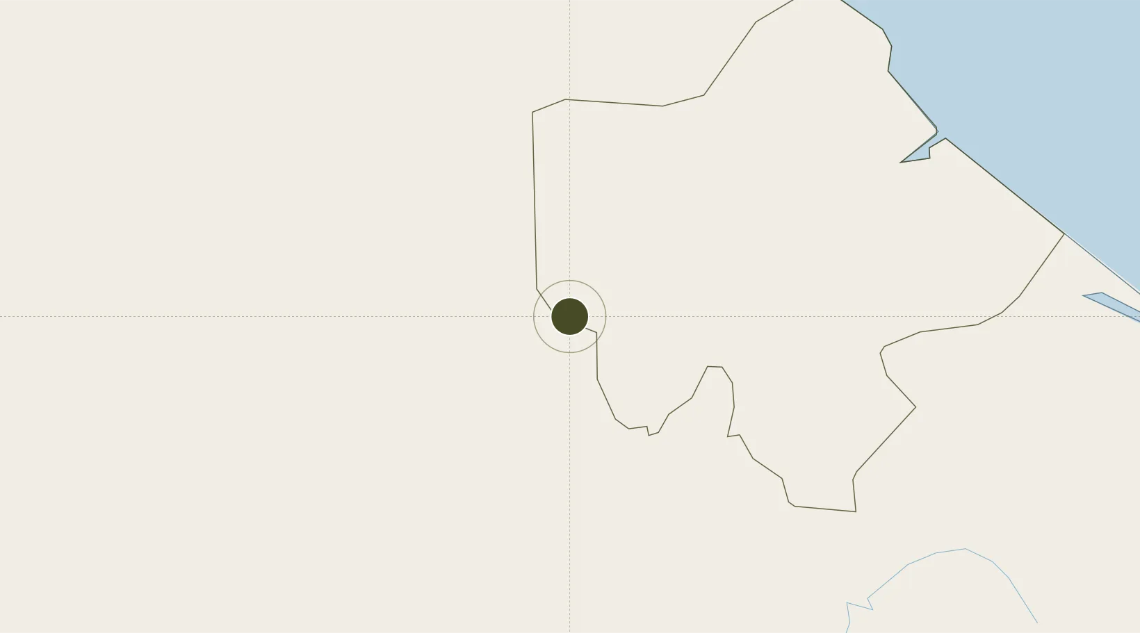
16.6134°, 106.5956°
16 ha
Zone area
182.1 km
Nearest port
100.3 km
Nearest airport

Gateway access

Nearest neighbours — logibook spatial index (haversine) over the source coordinates

Zone profile

Zone type
Economic Zone
the World Bank SEZ database
Region
Quảng Trị
the World Bank SEZ database
Established
2005
the World Bank SEZ database
Management
Public agency
the World Bank SEZ database
Operator
Lao Bao Special Trade Economic Zone Management Board
the World Bank SEZ database
Regulatory authority
Prime Minister
the World Bank SEZ database
Legal framework
Law on Foreign Investment in Vietnam, 1996; Decree No. 36/1997/CP on The Regulation of Industrial, Economic and Export processing zones
the World Bank SEZ database

Location

Location of VNM206
Natural Earth 10m (public domain) · Quảng Trị · VNM206 · 16.61, 106.60GoogleOSMYandex

Fiscal & incentives

Corporate tax
20%
the World Bank SEZ database
Tax relief
100% exempt
the World Bank SEZ database
Relief duration
4 years
the World Bank SEZ database
VAT
No exemption
the World Bank SEZ database
Import duty (inputs)
0% exempt
the World Bank SEZ database
Import duty (capex)
100% exempt
the World Bank SEZ database
Profit repatriation
No exemption
the World Bank SEZ database
Capital gains
No exemption
the World Bank SEZ database
Withholding tax
No exemption
the World Bank SEZ database
Min. investment
None
the World Bank SEZ database
Min. export
0%
the World Bank SEZ database
Employment incentive
No exemption
the World Bank SEZ database
Developer incentive
No established framework
the World Bank SEZ database

Nearby Logistics Neighbours

Ports
  1. 1Da Nang182 km
  2. 2Nghe Tinh255 km
  3. 3Basuo350 km
  4. 4Sanya357 km
  5. 5Qui Nhon425 km
Nearest neighbours — logibook spatial index (haversine) over the source coordinates
Airports
  1. 1Dong Hoi Airport100 km
  2. 2Phu Bai International Airport120 km
  3. 3Da Nang International Airport182 km
  4. 4Pakse International Airport186 km
  5. 5Savannakhet Airport196 km
Nearest neighbours — logibook spatial index (haversine) over the source coordinates
Cities
  1. 1Tan Dinh46 km
  2. 2Cua Viet Port69 km
  3. 3Quang Ninh88 km
  4. 4Quäng Bình102 km
  5. 5Phú Bai124 km
Nearest neighbours — logibook spatial index (haversine) over the source coordinates
Trade Zones
  1. 1Nam Dong Ha Industrial Zone58 km
  2. 2Bang Industrial Zone65 km
  3. 3Tay Bac Quan Hau Industrial Zone88 km
  4. 4Tu Ha Industrial Zone94 km
  5. 5Hòn La Industrial Zone Ii96 km
Nearest neighbours — logibook spatial index (haversine) over the source coordinates
DatabookThe Record of Consolidated Knowledge
Vietnam beyond logistics?
Browse databook

All Sources

Trade Zonesthe World Bank SEZ database
CC BY 4.0
Portsthe NGA World Port Index
Public domain (US gov)
AirportsOurAirports
Public domain
LocationsUN/LOCODE
UN/LOCODE — free
← Vietnam trade zones