Free Trade Zone · Argentina

Zona Franca de Salta Active
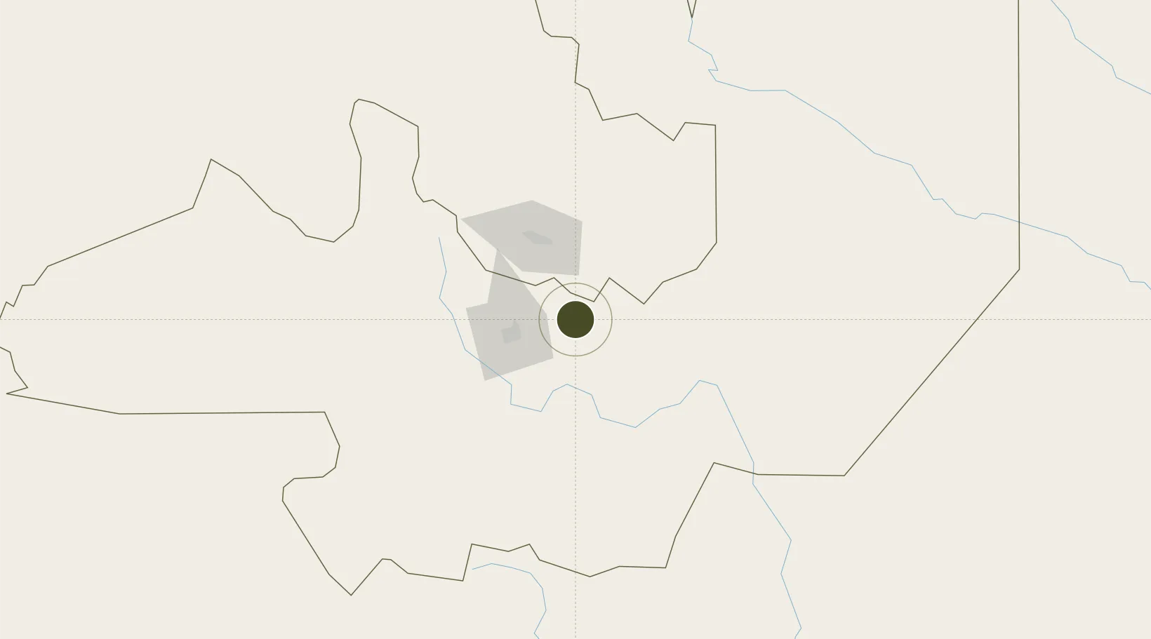
-24.7089°, -65.0340°
200 ha
Zone area
554.2 km
Nearest port
35.7 km
Nearest airport

Gateway access

Nearest neighbours — logibook spatial index (haversine) over the source coordinates

Zone profile

Zone type
Free Trade Zone
Open Zone Map
Region
Salta
Open Zone Map
Status
Active
Open Zone Map
Management
Public-Private Partnership
Open Zone Map
Operator
ACS, Actividades de Construccion y Servicios, SA
Open Zone Map
Legal framework
Law No 24.331 of Free Zones, External Note N1/2008
Open Zone Map

Location

Location of ozm-50
Natural Earth 10m (public domain) · Salta · ozm-50 · -24.71, -65.03GoogleOSMYandex

Nearby Logistics Neighbours

Ports
  1. 1Taltal554 km
  2. 2Antofagasta559 km
  3. 3Mejillones581 km
  4. 4Puerto Chanaral592 km
  5. 5Tocopilla606 km
Nearest neighbours — logibook spatial index (haversine) over the source coordinates
Airports
  1. 1Gobernador Horacio Guzman International Airport36 km
  2. 2Martín Miguel de Güemes International Airport49 km
  3. 3Orán Airport187 km
  4. 4Bermejo Airport227 km
  5. 5Teniente Benjamín Matienzo International Airport237 km
Nearest neighbours — logibook spatial index (haversine) over the source coordinates
Cities
  1. 1El Bordo7 km
  2. 2Palpala54 km
  3. 3Rosario de Lerma63 km
  4. 4San Salvador de Jujuy64 km
  5. 5Apolinario Saravia106 km
Nearest neighbours — logibook spatial index (haversine) over the source coordinates
Trade Zones
  1. 1Zona Franca Tucuman Free Trade Zone241 km
  2. 2Iquique Free Trade Zone725 km
  3. 3Córdoba Free Trade Zone736 km
  4. 4Oruro Commercial and Industrial Free Zone772 km
  5. 5Zona Franca Oruro780 km
Nearest neighbours — logibook spatial index (haversine) over the source coordinates
DatabookThe Record of Consolidated Knowledge
Argentina beyond logistics?
Browse databook

All Sources

Trade ZonesOpen Zone Map
CC BY
Portsthe NGA World Port Index
Public domain (US gov)
AirportsOurAirports
Public domain
LocationsUN/LOCODE
UN/LOCODE — free
← Argentina trade zones