UN/LOCODE hub · Argentina
ARASA
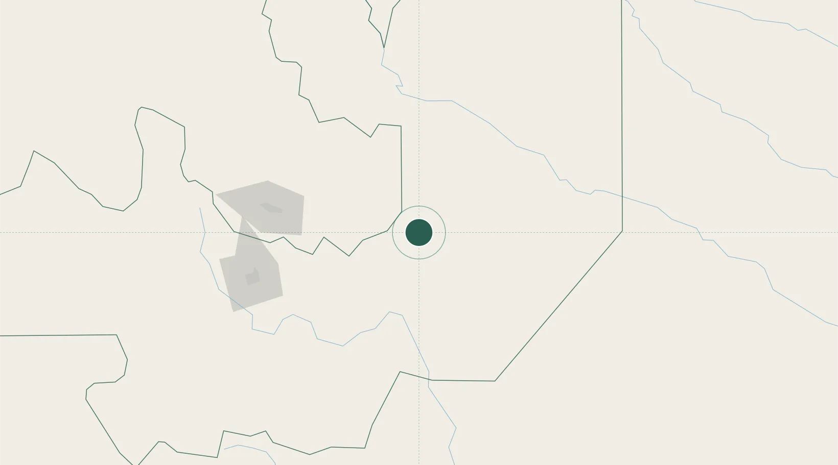
Apolinario Saravia
-24.4167°, -64.0333°
8,595
Population
1
Transport functions
Transport Functions
Multimodal
Hub Profile
Place type
Populated place
Region
Salta
Population
8,595
Time zone
America/Argentina/Salta
Elevation
361 m
Location
Nearby Logistics Neighbours
Cities
- 1El Bordo114 km
- 2Palpala120 km
- 3San Salvador de Jujuy131 km
- 4Hickmann143 km
- 5Rosario de Lerma169 km
Ports
- 1Antofagasta654 km
- 2Taltal660 km
- 3Mejillones671 km
- 4Tocopilla684 km
- 5Puerto Chanaral699 km
Airports
Trade Zones
DatabookThe Record of Consolidated Knowledge
Argentina beyond logistics?