Large airport · Argentina

Gobernador Horacio Guzman International AirportSASJ
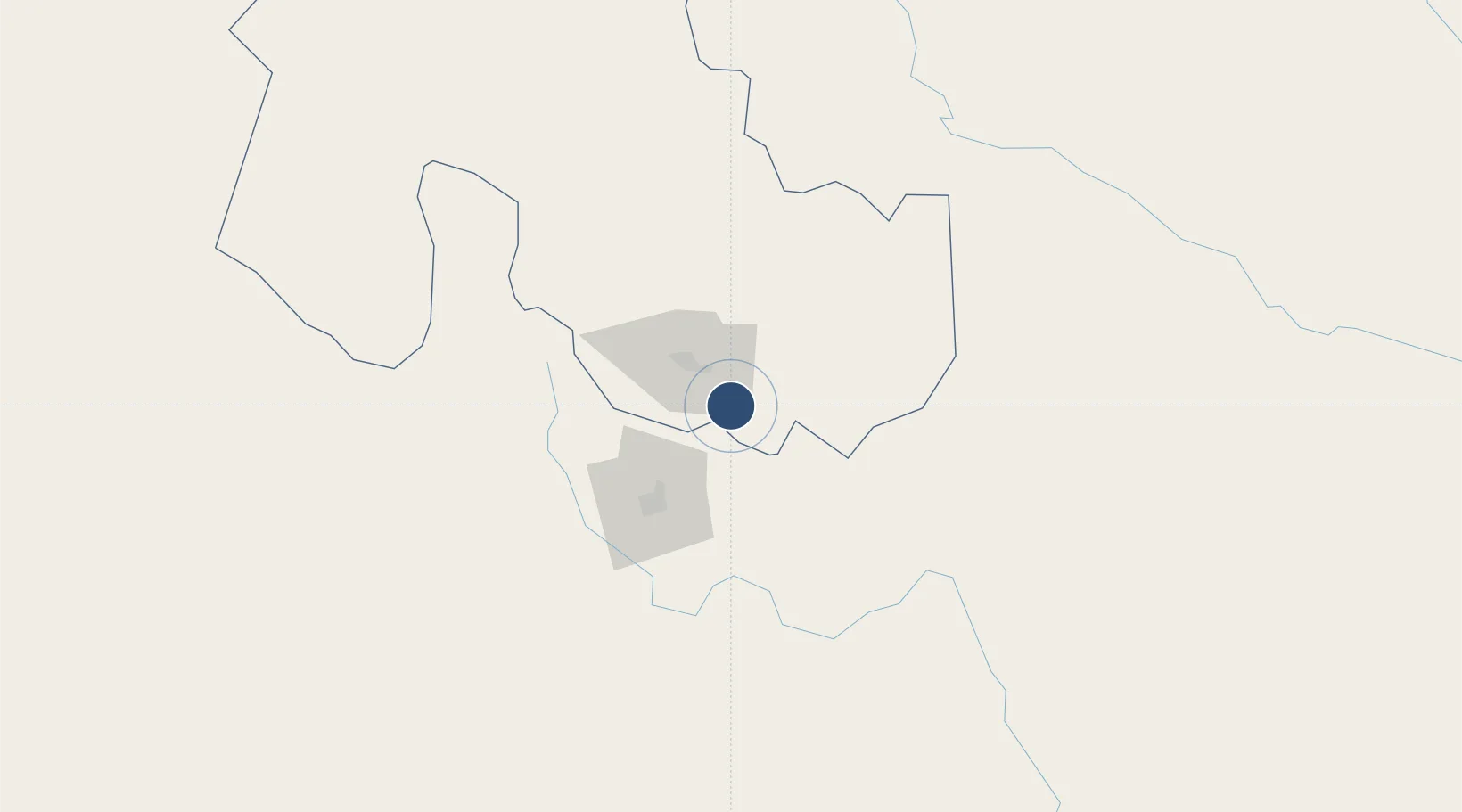
-24.3928°, -65.0978°
9,698 ft
Longest runway
1
Runways
3,019 ft
Elevation

Runway & Layout

Gobernador Horacio Guzman International Airport runway & taxiway layout
Runway & taxiway layout — OpenStreetMap (ODbL) / OurAirports

Radio Frequencies

TWR
118.7 MHz
TWR/APP
OurAirports

Navaids

JUJ VOR-DME Jujuy 112.90 MHz
OurAirports

Runways · 1

RunwayDimensions SurfaceTrue headingLit
16/34 9,698 × 131ft Asphalt 149°
OurAirports

Airport Specifications

IATA code
JUJ
OurAirports
ICAO code
SASJ
OurAirports
Airport class
Large airport
OurAirports
Scheduled service
Yes
OurAirports
Runway surface
Asphalt
OurAirports
Served city
San Salvador de Jujuy
OurAirports

Location

Location of SASJ
Natural Earth 10m (public domain) · Jujuy · SASJ · -24.39, -65.10GoogleOSMYandex

Nearby Logistics Neighbours

Airports
  1. 1Martín Miguel de Güemes International Airport65 km
  2. 2Orán Airport159 km
  3. 3Bermejo Airport197 km
  4. 4General Enrique Mosconi Airport238 km
  5. 5Teniente Benjamín Matienzo International Airport272 km
Nearest neighbours — logibook spatial index (haversine) over the source coordinates
Cities
  1. 1Palpala19 km
  2. 2San Salvador de Jujuy31 km
  3. 3El Bordo38 km
  4. 4Rosario de Lerma82 km
  5. 5Apolinario Saravia108 km
Nearest neighbours — logibook spatial index (haversine) over the source coordinates
Ports
  1. 1Antofagasta546 km
  2. 2Taltal555 km
  3. 3Mejillones565 km
  4. 4Tocopilla584 km
  5. 5Puerto Chanaral599 km
Nearest neighbours — logibook spatial index (haversine) over the source coordinates
Trade Zones
  1. 1Zona Franca de Salta36 km
  2. 2Zona Franca Tucuman Free Trade Zone276 km
  3. 3Iquique Free Trade Zone697 km
  4. 4Oruro Commercial and Industrial Free Zone736 km
  5. 5Zona Franca Oruro744 km
Nearest neighbours — logibook spatial index (haversine) over the source coordinates
DatabookThe Record of Consolidated Knowledge
Argentina beyond logistics?
Browse databook

All Sources

AirportsOurAirports
Public domain
Portsthe NGA World Port Index
Public domain (US gov)
LocationsUN/LOCODE
UN/LOCODE — free
Trade Zonesthe World Bank SEZ database
CC BY 4.0
Trade ZonesOpen Zone Map
CC BY
InfrastructureOpenStreetMap
ODbL 1.0
← Argentina airports