Medium airport · Argentina
Orán AirportSASO
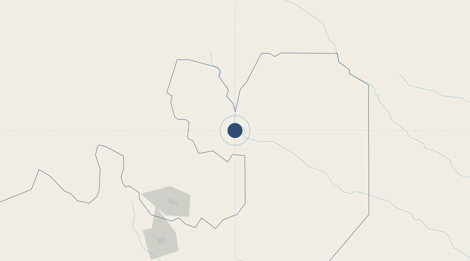
-23.1528°, -64.3292°
4,839 ft
Longest runway
1
Runways
1,171 ft
Elevation
Runway & Layout

Radio Frequencies
RDO
118.5 MHz
Navaids
ORA NDB Oran 285 kHz
Runways · 1
| Runway | Dimensions | Surface | True heading | Lit |
|---|---|---|---|---|
| 1/19 | 4,839 × 98ft | Asphalt | 010° | ✓ |
Airport Specifications
IATA code
ORA
ICAO code
SASO
Airport class
Medium airport
Scheduled service
No
Runway surface
Asphalt
Served city
Orán
Location
Nearby Logistics Neighbours
Airports
Cities
- 1Hickmann78 km
- 2General Enrique Mosconi81 km
- 3Yacuiba141 km
- 4Apolinario Saravia144 km
- 5Palpala151 km
Ports
- 1Tocopilla618 km
- 2Antofagasta624 km
- 3Mejillones628 km
- 4Caleta Patillos663 km
- 5Taltal672 km
Trade Zones
DatabookThe Record of Consolidated Knowledge
Argentina beyond logistics?