Large airport · Argentina
Teniente Benjamín Matienzo International AirportSANT
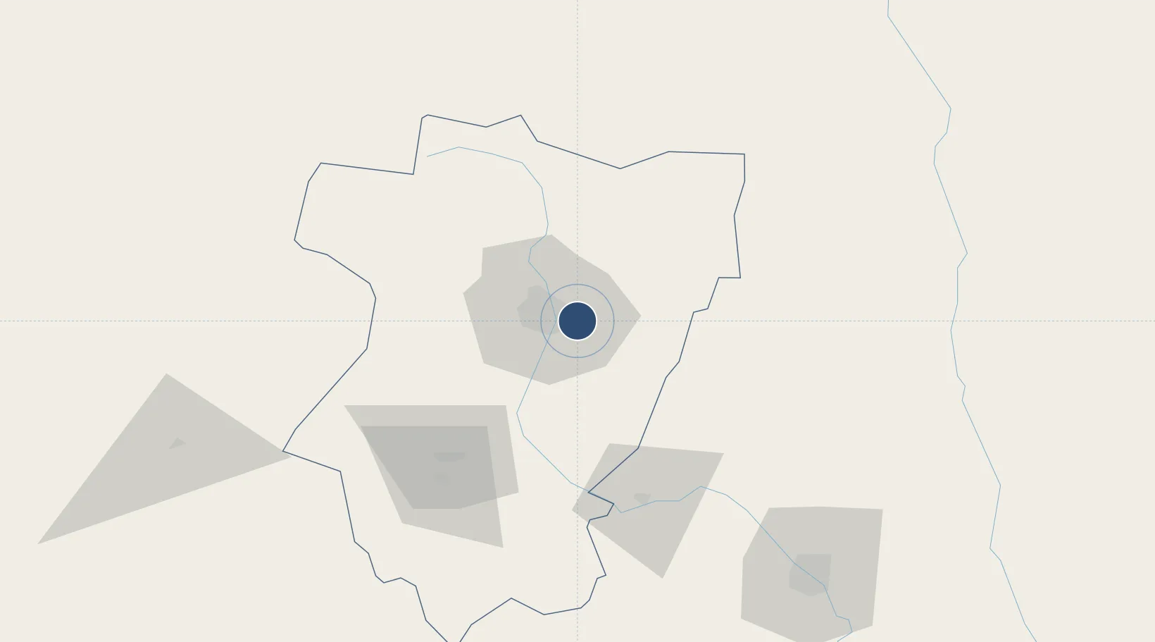
-26.8374°, -65.1042°
11,483 ft
Longest runway
1
Runways
1,493 ft
Elevation
Runway & Layout

Radio Frequencies
TWR
119.5 MHz
TUCUMAN TWR/APP
RDO
122.5 MHz
TUCUMAN RDO
Navaids
TUC VOR-DME Tucuman 114.10 MHz
Runways · 1
| Runway | Dimensions | Surface | True heading | Lit |
|---|---|---|---|---|
| 02/20 | 11,483 × 148ft | Concrete | 010° | ✓ |
Airport Specifications
IATA code
TUC
ICAO code
SANT
Airport class
Large airport
Scheduled service
Yes
Runway surface
Concrete
Served city
San Miguel de Tucumán
Location
Nearby Logistics Neighbours
Airports
Cities
- 1Tucumán11 km
- 2San Miguel de Tucumán15 km
- 3Cevil Redondo19 km
- 4Güemes58 km
- 5León Rouges60 km
Ports
- 1Puerto Chanaral554 km
- 2Taltal560 km
- 3Puerto Caldera568 km
- 4Puerto Calderilla572 km
- 5Huasco632 km
Trade Zones
- 1Zona Franca Tucuman Free Trade Zone7 km
- 2Zona Franca de Salta237 km
- 3Córdoba Free Trade Zone503 km
- 4Zona Franca de San Luis778 km
- 5Justo Daract Free Trade Zone778 km
DatabookThe Record of Consolidated Knowledge
Argentina beyond logistics?