Seaport · Chile

MejillonesCLMJS

-23.1000°, -70.4667°
20.1 m
Channel depth
51.8
Port liner connectivity
Mejillones is also a UN/LOCODE logistics hub →

Channel & Berth Profile

SEA LEVEL (CD)CHANNEL BEDCargo pier · 12.5 mOil terminal · 14.0 mChannel · 20.1 mAnchorage · 23.2 m
NGA World Port Index

Pilotage, Tugs & Services

Pilotage compulsoryYES
Pilotage availableYES
Tug assistanceNO
Salvage tugsNO
Potable waterNO
Diesel bunkersNO
MedicalYES
Garbage disposalNO
NGA World Port Index

Facilities & Capabilities

Container
Ro-Ro
Liquid bulk
Dry bulk
Oil terminal
Break bulk
Dry dock
RepairsNO
BunkeringNO
Rail linkNO
Dangerous cargo
ISPS security
NGA World Port Index

Harbour Specifications

Harbour size
Small
NGA World Port Index
Harbour type
Coastal (Natural)
NGA World Port Index
Shelter
Good
NGA World Port Index
Water body
South Pacific Ocean
NGA World Port Index
Tidal range
1 m
NGA World Port Index
Overhead limit
No
NGA World Port Index
Pilotage
Yes
NGA World Port Index

Liner Connectivity

51.8
PLSCI

Port Liner Shipping Connectivity Index for Mejillones, as published by UNCTAD for the latest available quarter. Higher values indicate stronger scheduled liner-shipping integration.

Shown relative to the highest per-port PLSCI in the dataset (1,657.9).
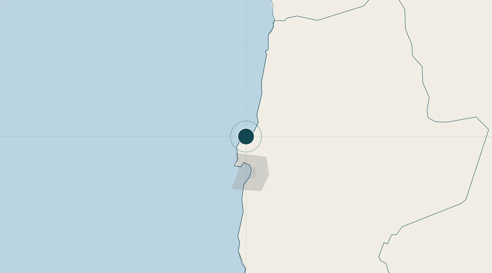
UNCTAD · Port Liner Shipping Connectivity Index

Location

Location of CLMJS
Natural Earth 10m (public domain) · Antofagasta · CLMJS · -23.10, -70.47GoogleOSMYandex

Nearby Logistics Neighbours

Ports
  1. 1Antofagasta61 km
  2. 2Tocopilla116 km
  3. 3Taltal256 km
  4. 4Caleta Patillos265 km
  5. 5Iquique324 km
Nearest neighbours — logibook spatial index (haversine) over the source coordinates
Cities
  1. 1Puerto Angamos7 km
  2. 2Michilla46 km
  3. 3Antofagasta65 km
  4. 4Caleta Coloso72 km
  5. 5Pedro de Valdivia99 km
Nearest neighbours — logibook spatial index (haversine) over the source coordinates
Airports
  1. 1Andrés Sabella Gálvez International Airport39 km
  2. 2Barriles Airport114 km
  3. 3El Loa Airport174 km
  4. 4Las Breas Airport274 km
  5. 5Diego Aracena International Airport287 km
Nearest neighbours — logibook spatial index (haversine) over the source coordinates
Trade Zones
  1. 1Iquique Free Trade Zone324 km
  2. 2Arica Free Trade Zone528 km
  3. 3Chacalluta Arica Industrial Park528 km
  4. 4Zona Franca de Tacna (Free Trade Zone of Tacna (ZOFRATACNA)559 km
  5. 5Zona Franca de Salta581 km
Nearest neighbours — logibook spatial index (haversine) over the source coordinates
DatabookThe Record of Consolidated Knowledge
Chile beyond logistics?
Browse databook

All Sources

Portsthe NGA World Port Index
Public domain (US gov)
Logistics performanceUNCTAD
CC BY 3.0 IGO
AirportsOurAirports
Public domain
LocationsUN/LOCODE
UN/LOCODE — free
Trade Zonesthe World Bank SEZ database
CC BY 4.0
Trade ZonesOpen Zone Map
CC BY
← Chile ports