Channel & Berth Profile
Pilotage, Tugs & Services
Pilotage compulsoryYES
Pilotage availableYES
Tug assistanceNO
Salvage tugsNO
Potable waterNO
MedicalYES
Garbage disposalNO
Facilities & Capabilities
Container—
Ro-Ro—
Liquid bulk—
Dry bulk—
Oil terminal—
Break bulk—
Dry dock—
RepairsNO
BunkeringNO
Rail linkYES
Dangerous cargo—
ISPS security—
Harbour Specifications
Harbour size
Very Small
Harbour type
Coastal (Natural)
Shelter
Fair
Water body
South Pacific Ocean
Tidal range
1 m
Overhead limit
No
Pilotage
Yes
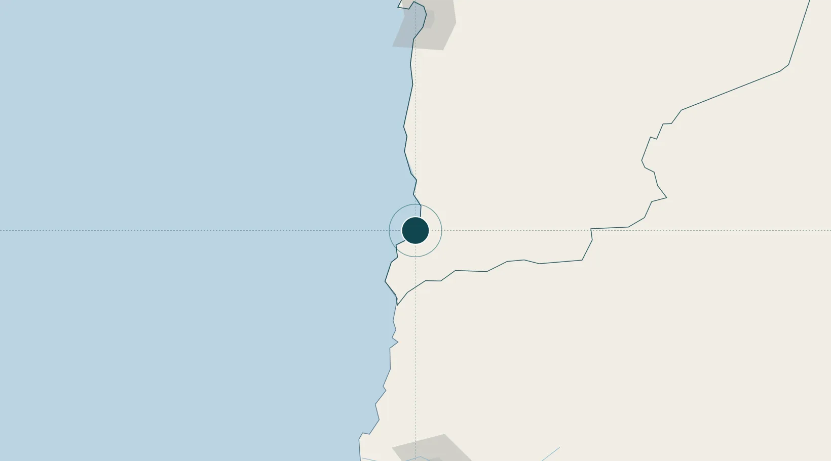
Location
Nearby Logistics Neighbours
Ports
- 1Puerto Chanaral107 km
- 2Puerto Caldera187 km
- 3Puerto Calderilla191 km
- 4Antofagasta195 km
- 5Mejillones256 km
Cities
- 1Chañaral107 km
- 2Barquito107 km
- 3Los Vientos108 km
- 4Caleta Coloso184 km
- 5Caldera184 km
Airports
- 1Las Breas Airport21 km
- 2Chañaral Airport104 km
- 3Ricardo García Posada Airport124 km
- 4Desierto de Atacama Airport209 km
- 5Andrés Sabella Gálvez International Airport217 km
Trade Zones
- 1Zona Franca de Salta554 km
- 2Zona Franca Tucuman Free Trade Zone555 km
- 3Iquique Free Trade Zone579 km
- 4Arica Free Trade Zone783 km
- 5Chacalluta Arica Industrial Park783 km
DatabookThe Record of Consolidated Knowledge
Chile beyond logistics?