Medium airport · Bolivia
Bermejo AirportSLBJ
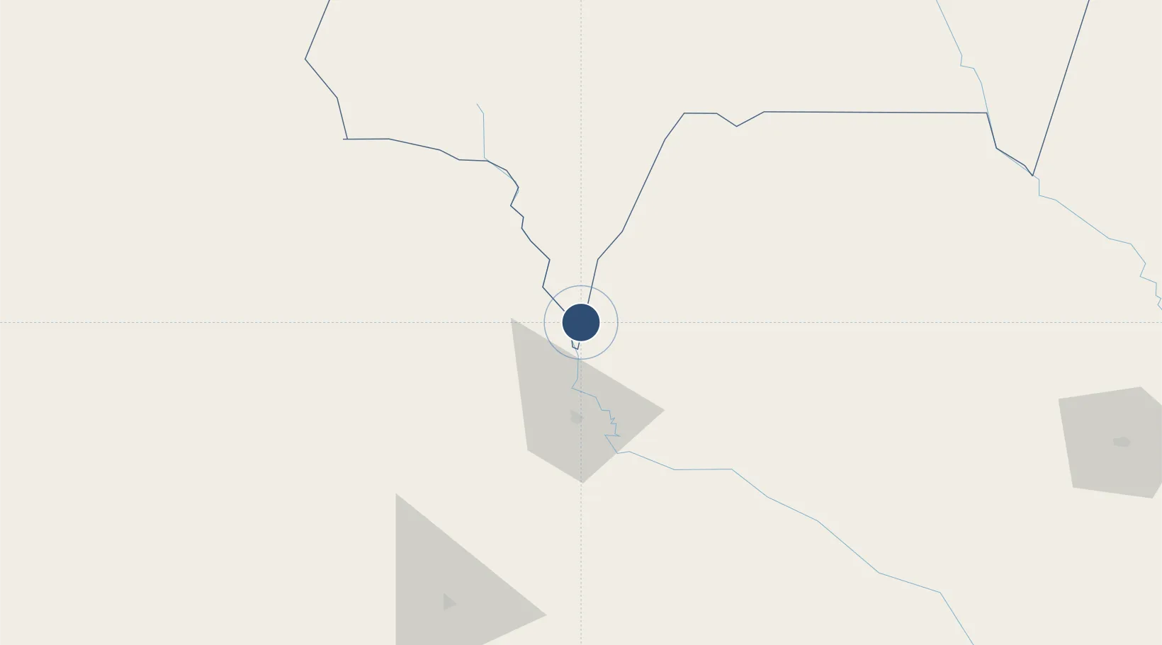
-22.7733°, -64.3129°
4,921 ft
Longest runway
1
Runways
1,249 ft
Elevation
Runway & Layout

Radio Frequencies
TWR
118.1 MHz
RDO
662.2 MHz
Navaids
BJO NDB Bermejo 400 kHz
Runways · 1
| Runway | Dimensions | Surface | True heading | Lit |
|---|---|---|---|---|
| 01/19 | 4,921 × 118ft | Asphalt | 002° | — |
Airport Specifications
IATA code
BJO
ICAO code
SLBJ
Airport class
Medium airport
Scheduled service
No
Runway surface
Asphalt
Served city
Bermejo
Location
Nearby Logistics Neighbours
Airports
- 1Orán Airport42 km
- 2General Enrique Mosconi Airport56 km
- 3Yacuiba Airport113 km
- 4Capitan Oriel Lea Plaza Airport141 km
- 5Teniente Coronel Rafael Pabón Airport193 km
Cities
- 1General Enrique Mosconi54 km
- 2Hickmann90 km
- 3Yacuiba105 km
- 4Villazón151 km
- 5La Quiaca154 km
Ports
- 1Tocopilla613 km
- 2Mejillones631 km
- 3Antofagasta631 km
- 4Caleta Patillos649 km
- 5Iquique670 km
Trade Zones
DatabookThe Record of Consolidated Knowledge
Bolivia beyond logistics?