UN/LOCODE hub · Argentina
ARSSJ

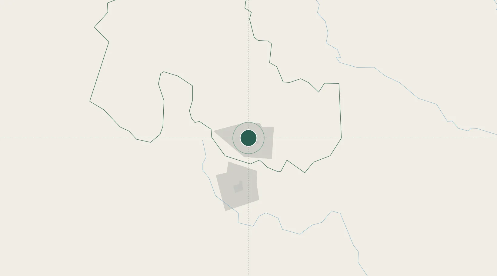
San Salvador de Jujuy

-24.1833°, -65.3000°
257,970
Population
4
Transport functions

Transport Functions

Port
Rail
Road
Postal
UN/LOCODE

Hub Profile

Place type
Regional capital
GeoNames
Region
Jujuy
GeoNames
Population
257,970
GeoNames
Time zone
America/Argentina/Jujuy
GeoNames
Elevation
1,217 m
GeoNames

Location

Location of ARSSJ
Natural Earth 10m (public domain) · Jujuy · ARSSJ · -24.18, -65.30GoogleOSMYandex

Nearby Logistics Neighbours

Cities
  1. 1Palpala13 km
  2. 2El Bordo64 km
  3. 3Rosario de Lerma94 km
  4. 4Apolinario Saravia131 km
  5. 5Molinos171 km
Nearest neighbours — logibook spatial index (haversine) over the source coordinates
Ports
  1. 1Antofagasta523 km
  2. 2Mejillones540 km
  3. 3Taltal540 km
  4. 4Tocopilla556 km
  5. 5Puerto Chanaral589 km
Nearest neighbours — logibook spatial index (haversine) over the source coordinates
Airports
  1. 1Gobernador Horacio Guzman International Airport31 km
  2. 2Martín Miguel de Güemes International Airport77 km
  3. 3Orán Airport151 km
  4. 4Bermejo Airport186 km
  5. 5General Enrique Mosconi Airport232 km
Nearest neighbours — logibook spatial index (haversine) over the source coordinates
Trade Zones
  1. 1Zona Franca de Salta64 km
  2. 2Zona Franca Tucuman Free Trade Zone299 km
  3. 3Iquique Free Trade Zone666 km
  4. 4Oruro Commercial and Industrial Free Zone708 km
  5. 5Zona Franca Oruro716 km
Nearest neighbours — logibook spatial index (haversine) over the source coordinates
DatabookThe Record of Consolidated Knowledge
Argentina beyond logistics?
Browse databook

All Sources

LocationsUN/LOCODE
UN/LOCODE — free
LocationsGeoNames
CC BY 4.0
Portsthe NGA World Port Index
Public domain (US gov)
AirportsOurAirports
Public domain
Trade Zonesthe World Bank SEZ database
CC BY 4.0
Trade ZonesOpen Zone Map
CC BY
← Argentina locations