Export Processing Zone · Bolivia

Zona Franca Oruro Active
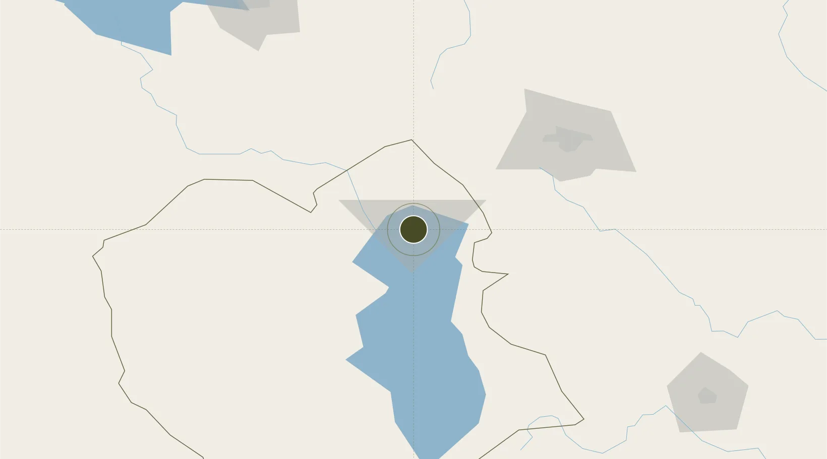
-17.9705°, -67.1205°
2 ha
Zone area
343.8 km
Nearest port
5.0 km
Nearest airport

Gateway access

Nearest neighbours — logibook spatial index (haversine) over the source coordinates

Zone profile

Zone type
Export Processing Zone
Open Zone Map
Region
Oruro
Open Zone Map
Status
Active
Open Zone Map
Management
Private
Open Zone Map
Operator
Zona Franca Oruro, SA
Open Zone Map
Legal framework
Supreme Decree No 2779 Aprueba El Reglamento Del Regimen Especial De Zonas Francas
Open Zone Map

Location

Location of ozm-193
Natural Earth 10m (public domain) · Oruro · ozm-193 · -17.97, -67.12GoogleOSMYandex

Nearby Logistics Neighbours

Ports
  1. 1Rada De Arica344 km
  2. 2Iquique405 km
  3. 3Caleta Patillos446 km
  4. 4Puerto Ilo451 km
  5. 5Bahia De Matarani541 km
Nearest neighbours — logibook spatial index (haversine) over the source coordinates
Airports
  1. 1Juan Mendoza International Airport5 km
  2. 2Jorge Wilsterman International Airport117 km
  3. 3El Alto International Airport198 km
  4. 4Juana Azurduy de Padilla Air Force Base225 km
  5. 5Capitan Nicolas Rojas Airport229 km
Nearest neighbours — logibook spatial index (haversine) over the source coordinates
Cities
  1. 1Oruro1 km
  2. 2Sipe Sipe97 km
  3. 3Bavaro163 km
  4. 4La Paz193 km
  5. 5El Alto198 km
Nearest neighbours — logibook spatial index (haversine) over the source coordinates
DatabookThe Record of Consolidated Knowledge
Bolivia beyond logistics?
Browse databook

All Sources

Trade ZonesOpen Zone Map
CC BY
Portsthe NGA World Port Index
Public domain (US gov)
AirportsOurAirports
Public domain
LocationsUN/LOCODE
UN/LOCODE — free
← Bolivia trade zones