Seaport · Chile
AntofagastaCLANF
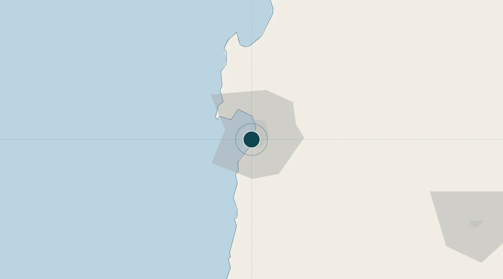
-23.6500°, -70.4167°
9.4 m
Channel depth
2
Container terminals
42.3
Port liner connectivity
Channel & Berth Profile
Pilotage, Tugs & Services
Pilotage compulsoryYES
Pilotage availableYES
Pilotage advisableYES
Tug assistanceYES
Salvage tugsNO
Shore powerYES
Potable waterYES
Diesel bunkersYES
MedicalYES
Garbage disposalNO
Facilities & Capabilities
Container—
Ro-Ro—
Liquid bulk—
Dry bulk—
Oil terminal—
Break bulk—
Dry dock—
RepairsNO
Bunkering—
Rail linkYES
Dangerous cargo—
ISPS security—
Harbour Specifications
Harbour size
Medium
Harbour type
Coastal (Breakwater)
Shelter
Good
Water body
South Pacific Ocean
Tidal range
3 m
Pilotage
Yes
Liner Connectivity
42.3
PLSCI
Port Liner Shipping Connectivity Index for Antofagasta, as published by UNCTAD for the latest available quarter. Higher values indicate stronger scheduled liner-shipping integration.
Shown relative to the highest per-port PLSCI in the dataset (1,657.9).
Location
Container Terminals · 2
ATI ANTOFAGASTA
ATI ANTOFAGASTA TERMINAL INTERNACIONAL S.A.
EPA ANTOFAGASTA
EPA EMPRESA PORTUARIA ANTOFAGASTA
Nearby Logistics Neighbours
Ports
- 1Mejillones61 km
- 2Tocopilla175 km
- 3Taltal195 km
- 4Puerto Chanaral301 km
- 5Caleta Patillos325 km
Cities
- 1Caleta Coloso12 km
- 2Mejillones61 km
- 3Puerto Angamos62 km
- 4Michilla103 km
- 5Los Vientos133 km
Airports
- 1Andrés Sabella Gálvez International Airport23 km
- 2Barriles Airport172 km
- 3El Loa Airport201 km
- 4Las Breas Airport213 km
- 5Chañaral Airport299 km
Trade Zones
DatabookThe Record of Consolidated Knowledge
Chile beyond logistics?