Large airport · Argentina

Martín Miguel de Güemes International AirportSASA
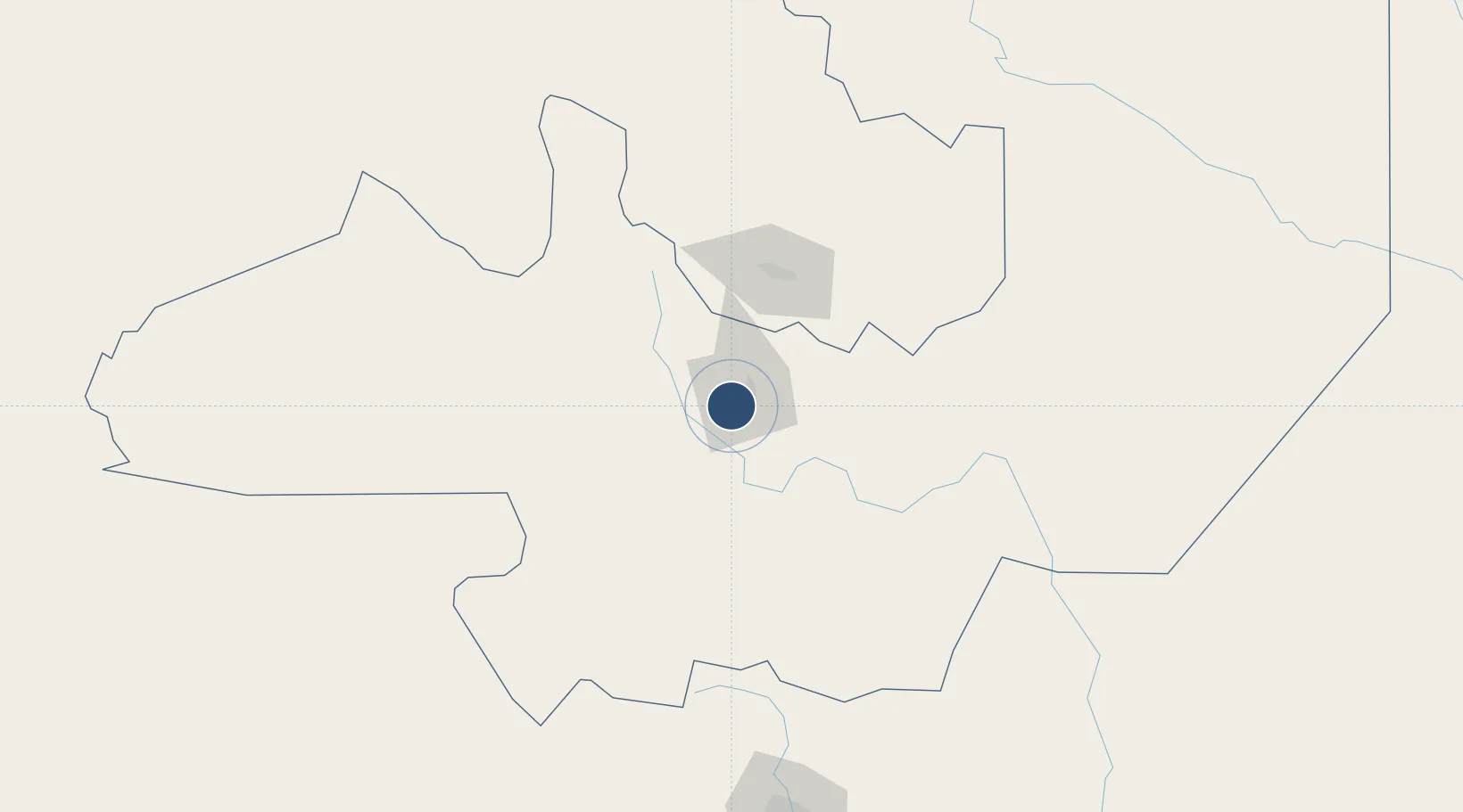
-24.8560°, -65.4862°
9,842 ft
Longest runway
2
Runways
4,088 ft
Elevation

Runway & Layout

Martín Miguel de Güemes International Airport runway & taxiway layout
Runway & taxiway layout — OpenStreetMap (ODbL) / OurAirports

Radio Frequencies

TWR
128.85 MHz
TWR/APP
RDO
126.9 MHz
OurAirports

Navaids

L NDB Salta 305 kHz
SAL VOR-DME Salta 116.70 MHz
OurAirports

Runways · 2

RunwayDimensions SurfaceTrue headingLit
02/20 9,842 × 148ft Asphalt 011°
06/24 7,874 × 98ft Asphalt 052°
OurAirports

Airport Specifications

IATA code
SLA
OurAirports
ICAO code
SASA
OurAirports
Airport class
Large airport
OurAirports
Scheduled service
Yes
OurAirports
Runway surface
Asphalt
OurAirports
Served city
Salta
OurAirports

Location

Location of SASA
Natural Earth 10m (public domain) · Salta · SASA · -24.86, -65.49GoogleOSMYandex

Nearby Logistics Neighbours

Airports
  1. 1Gobernador Horacio Guzman International Airport65 km
  2. 2Orán Airport223 km
  3. 3Teniente Benjamín Matienzo International Airport224 km
  4. 4Bermejo Airport261 km
  5. 5Termas de Río Hondo international Airport299 km
Nearest neighbours — logibook spatial index (haversine) over the source coordinates
Cities
  1. 1Rosario de Lerma17 km
  2. 2El Bordo41 km
  3. 3Palpala73 km
  4. 4San Salvador de Jujuy77 km
  5. 5Molinos104 km
Nearest neighbours — logibook spatial index (haversine) over the source coordinates
Ports
  1. 1Taltal507 km
  2. 2Antofagasta518 km
  3. 3Mejillones542 km
  4. 4Puerto Chanaral544 km
  5. 5Tocopilla574 km
Nearest neighbours — logibook spatial index (haversine) over the source coordinates
Trade Zones
  1. 1Zona Franca de Salta49 km
  2. 2Zona Franca Tucuman Free Trade Zone226 km
  3. 3Iquique Free Trade Zone704 km
  4. 4Córdoba Free Trade Zone726 km
  5. 5Oruro Commercial and Industrial Free Zone777 km
Nearest neighbours — logibook spatial index (haversine) over the source coordinates
DatabookThe Record of Consolidated Knowledge
Argentina beyond logistics?
Browse databook

All Sources

AirportsOurAirports
Public domain
Portsthe NGA World Port Index
Public domain (US gov)
LocationsUN/LOCODE
UN/LOCODE — free
Trade Zonesthe World Bank SEZ database
CC BY 4.0
Trade ZonesOpen Zone Map
CC BY
InfrastructureOpenStreetMap
ODbL 1.0
← Argentina airports