Seaport · Chile
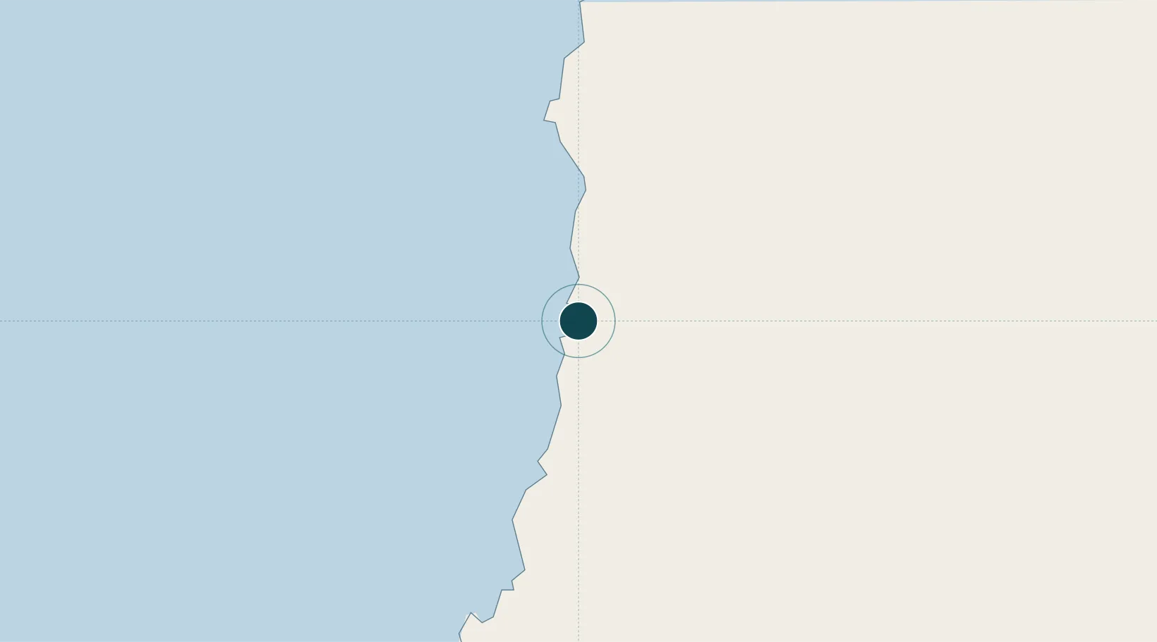
Puerto ChanaralCLCNR
-26.3500°, -70.6500°
23.2 m
Channel depth
22.1
Port liner connectivity
Channel & Berth Profile
Pilotage, Tugs & Services
Pilotage compulsoryYES
Pilotage availableYES
Tug assistanceYES
Salvage tugsNO
Potable waterYES
Diesel bunkersYES
MedicalYES
Garbage disposalNO
Facilities & Capabilities
Container—
Ro-Ro—
Liquid bulk—
Dry bulk—
Oil terminal—
Break bulk—
Dry dock—
RepairsNO
BunkeringYES
Rail linkYES
Dangerous cargo—
ISPS security—
Harbour Specifications
Harbour size
Very Small
Harbour type
Coastal (Natural)
Shelter
Fair
Water body
South Pacific Ocean
Tidal range
2 m
Overhead limit
Yes
Pilotage
Yes
Liner Connectivity
22.1
PLSCI
Port Liner Shipping Connectivity Index for Puerto Chanaral, as published by UNCTAD for the latest available quarter. Higher values indicate stronger scheduled liner-shipping integration.
Shown relative to the highest per-port PLSCI in the dataset (1,657.9).
Location
Nearby Logistics Neighbours
Ports
- 1Puerto Caldera80 km
- 2Puerto Calderilla84 km
- 3Taltal107 km
- 4Huasco243 km
- 5Antofagasta301 km
Cities
- 1Barquito2 km
- 2Caldera77 km
- 3Calderilla84 km
- 4Taltal107 km
- 5Copiapó116 km
Airports
- 1Chañaral Airport5 km
- 2Ricardo García Posada Airport88 km
- 3Las Breas Airport92 km
- 4Desierto de Atacama Airport102 km
- 5Vallenar Airport250 km
Trade Zones
- 1Zona Franca Tucuman Free Trade Zone548 km
- 2Zona Franca de Salta592 km
- 3Iquique Free Trade Zone686 km
- 4Zona Franca Mendoza Free Trade Zone764 km
- 5Córdoba Free Trade Zone836 km
DatabookThe Record of Consolidated Knowledge
Chile beyond logistics?