Transport Functions
Multimodal
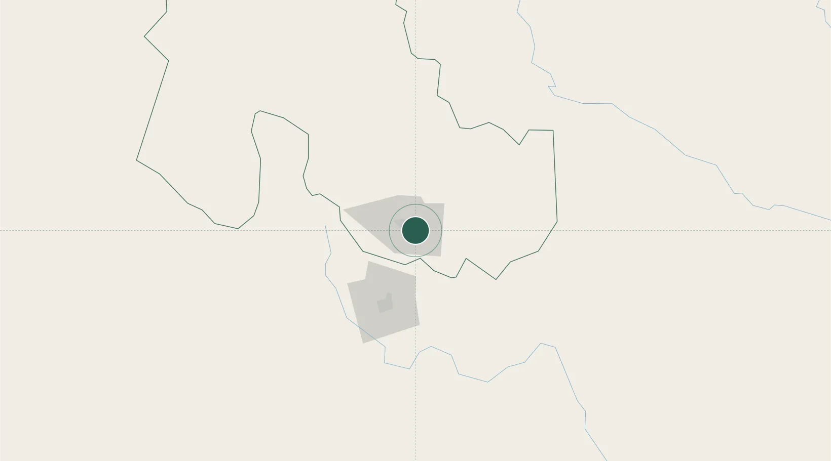
Hub Profile
Place type
Provincial seat
Region
Jujuy
Population
48,199
Time zone
America/Argentina/Jujuy
Elevation
1,058 m
Location
Nearby Logistics Neighbours
Cities
- 1San Salvador de Jujuy13 km
- 2El Bordo55 km
- 3Rosario de Lerma90 km
- 4Apolinario Saravia120 km
- 5Molinos172 km
Ports
- 1Antofagasta534 km
- 2Taltal548 km
- 3Mejillones551 km
- 4Tocopilla568 km
- 5Puerto Chanaral596 km
Airports
Trade Zones
- 1Zona Franca de Salta54 km
- 2Zona Franca Tucuman Free Trade Zone291 km
- 3Iquique Free Trade Zone679 km
- 4Oruro Commercial and Industrial Free Zone718 km
- 5Zona Franca Oruro726 km
DatabookThe Record of Consolidated Knowledge
Argentina beyond logistics?