Transport Functions
Multimodal
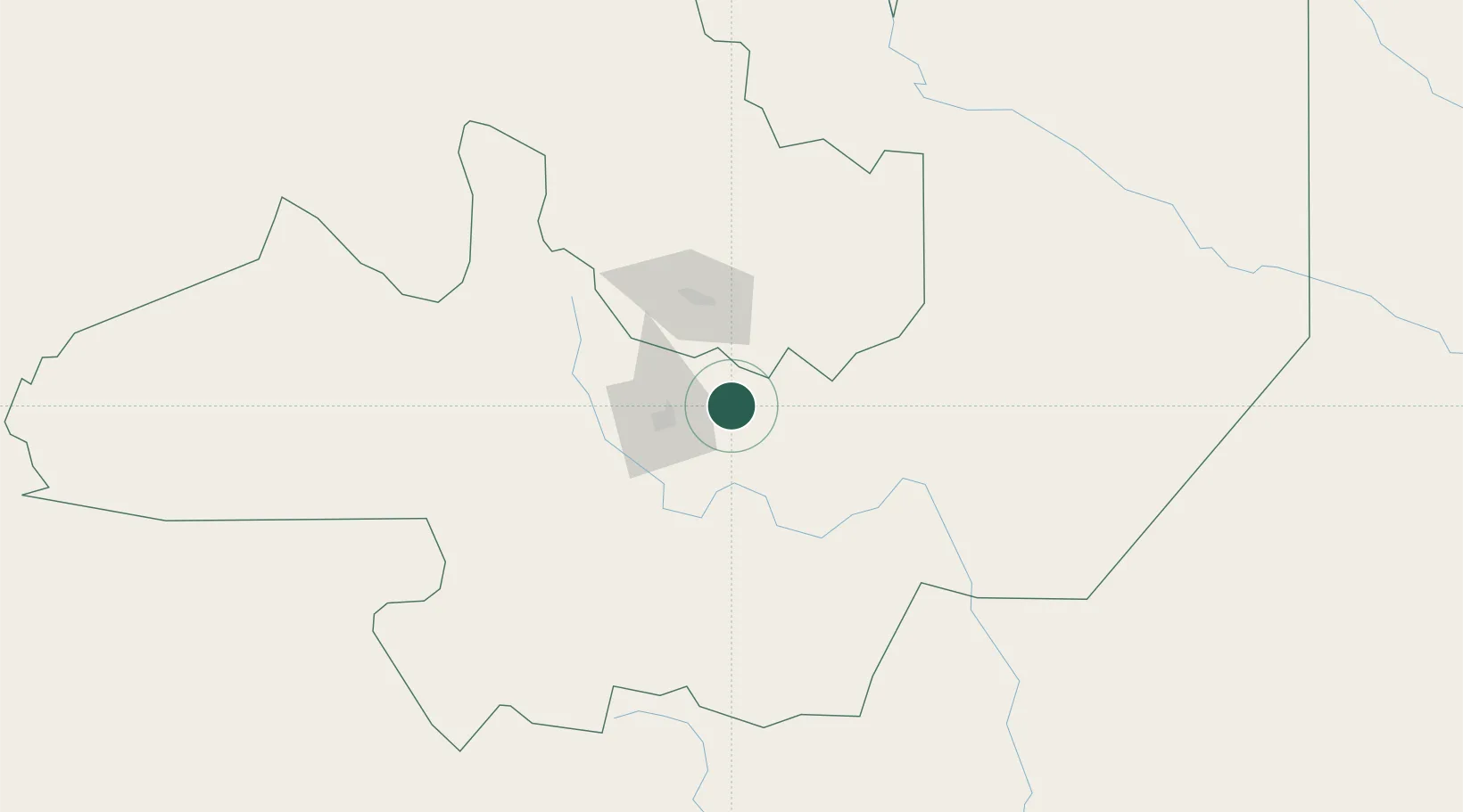
Hub Profile
Place type
Populated place
Region
Salta
Time zone
America/Argentina/Salta
Elevation
816 m
Location
Nearby Logistics Neighbours
Cities
- 1Palpala55 km
- 2Rosario de Lerma56 km
- 3San Salvador de Jujuy64 km
- 4Apolinario Saravia114 km
- 5Rosario de la Frontera119 km
Ports
- 1Taltal547 km
- 2Antofagasta553 km
- 3Mejillones575 km
- 4Puerto Chanaral585 km
- 5Tocopilla601 km
Airports
Trade Zones
DatabookThe Record of Consolidated Knowledge
Argentina beyond logistics?