Transport Functions
Multimodal
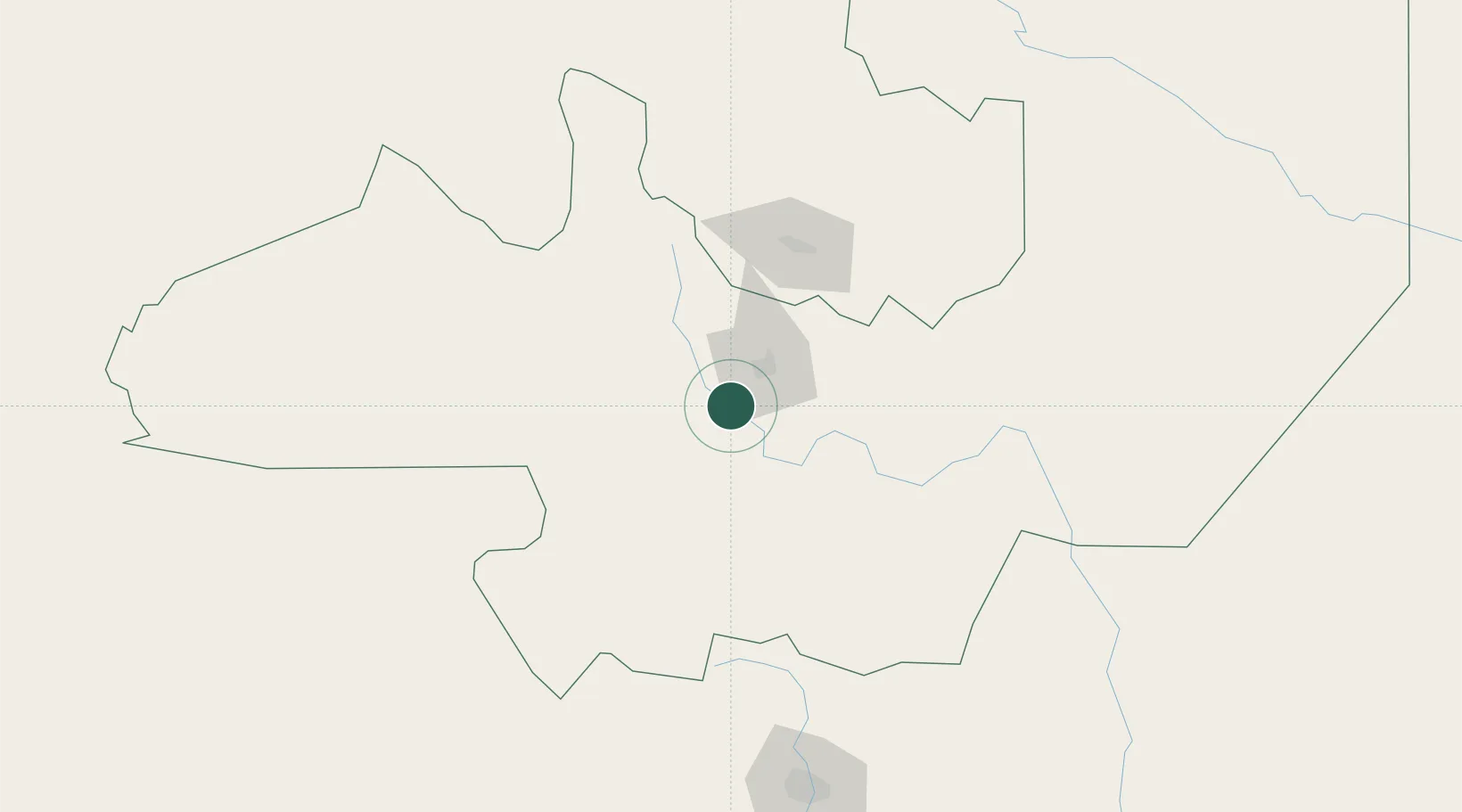
Hub Profile
Place type
Provincial seat
Region
Salta
Time zone
America/Argentina/Salta
Elevation
1,421 m
Location
Nearby Logistics Neighbours
Cities
- 1El Bordo56 km
- 2Molinos88 km
- 3Palpala90 km
- 4San Salvador de Jujuy94 km
- 5Rosario de la Frontera110 km
Ports
- 1Taltal495 km
- 2Antofagasta512 km
- 3Puerto Chanaral530 km
- 4Mejillones538 km
- 5Puerto Caldera573 km
Airports
Trade Zones
DatabookThe Record of Consolidated Knowledge
Argentina beyond logistics?