Transport Functions
Rail
Road
Hub Profile
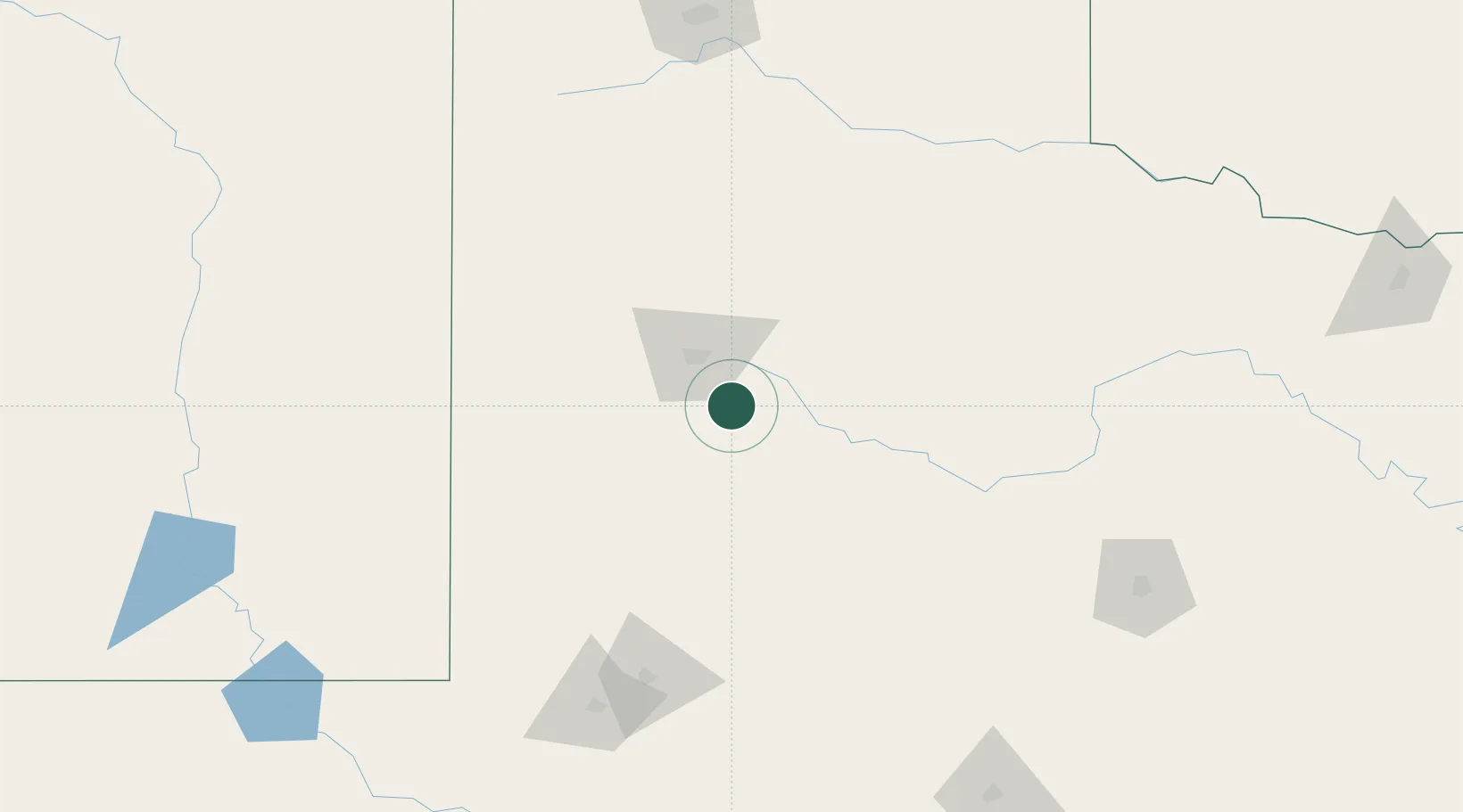
Place type
Populated place
Region
Texas
Population
475
Time zone
America/Chicago
Elevation
951 m
Location
Nearby Logistics Neighbours
Cities
- 1Wolfforth33 km
- 2Petersburg62 km
- 3Olton104 km
- 4Morton107 km
- 5Springlake114 km
Ports
- 1Port Lavaca714 km
- 2Deer Park723 km
- 3Houston727 km
- 4Pasadena735 km
- 5Palacios735 km
Airports
Trade Zones
- 1FTZ No. 260 Lubbock42 km
- 2FTZ No. 261 Alexandria42 km
- 3FTZ No. 165 Midland150 km
- 4FTZ No. 166 Homestead150 km
- 5FTZ No. 252 Amarillo210 km
DatabookThe Record of Consolidated Knowledge
United States beyond logistics?