Seaport · United States
DetroitUSDET
42.3333°, -83.0333°
6.4 m
Channel depth
12.9
Port liner connectivity
Channel & Berth Profile
Pilotage, Tugs & Services
Pilotage compulsoryYES
Tug assistanceYES
Salvage tugsNO
Shore powerYES
Potable waterYES
Diesel bunkersYES
MedicalYES
Garbage disposalYES
Facilities & Capabilities
Container—
Ro-Ro—
Liquid bulk—
Dry bulk—
Oil terminal—
Break bulk—
Dry dockNO
RepairsNO
BunkeringYES
Rail linkYES
Dangerous cargo—
ISPS security—
Harbour Specifications
Harbour size
Large
Harbour type
River (Natural)
Shelter
Excellent
Water body
Lake Erie; Great Lakes
Overhead limit
Yes
Pilotage
Yes
Liner Connectivity
12.9
PLSCI
Port Liner Shipping Connectivity Index for Detroit, as published by UNCTAD for the latest available quarter. Higher values indicate stronger scheduled liner-shipping integration.
Shown relative to the highest per-port PLSCI in the dataset (1,657.9).
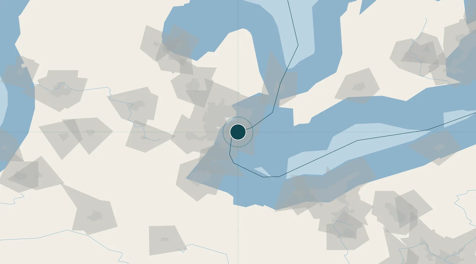
Location
Nearby Logistics Neighbours
Ports
- 1Windsor2 km
- 2Wyandotte18 km
- 3Trenton25 km
- 4Amherstburg27 km
- 5Kingsville43 km
Cities
- 1Melvindale13 km
- 2Grosse Point Woods16 km
- 3Hazel Park16 km
- 4Center Line17 km
- 5Maidstone18 km
Airports
Trade Zones
- 1Windsor - Essex Foreign Trade Zone2 km
- 2FTZ No. 070 Detroit17 km
- 3FTZ No. 210 St. Clair County69 km
- 4FTZ No. 008 Toledo86 km
- 5FTZ No. 140 Flint96 km
DatabookThe Record of Consolidated Knowledge
United States beyond logistics?