UN/LOCODE hub · United States
USQGB
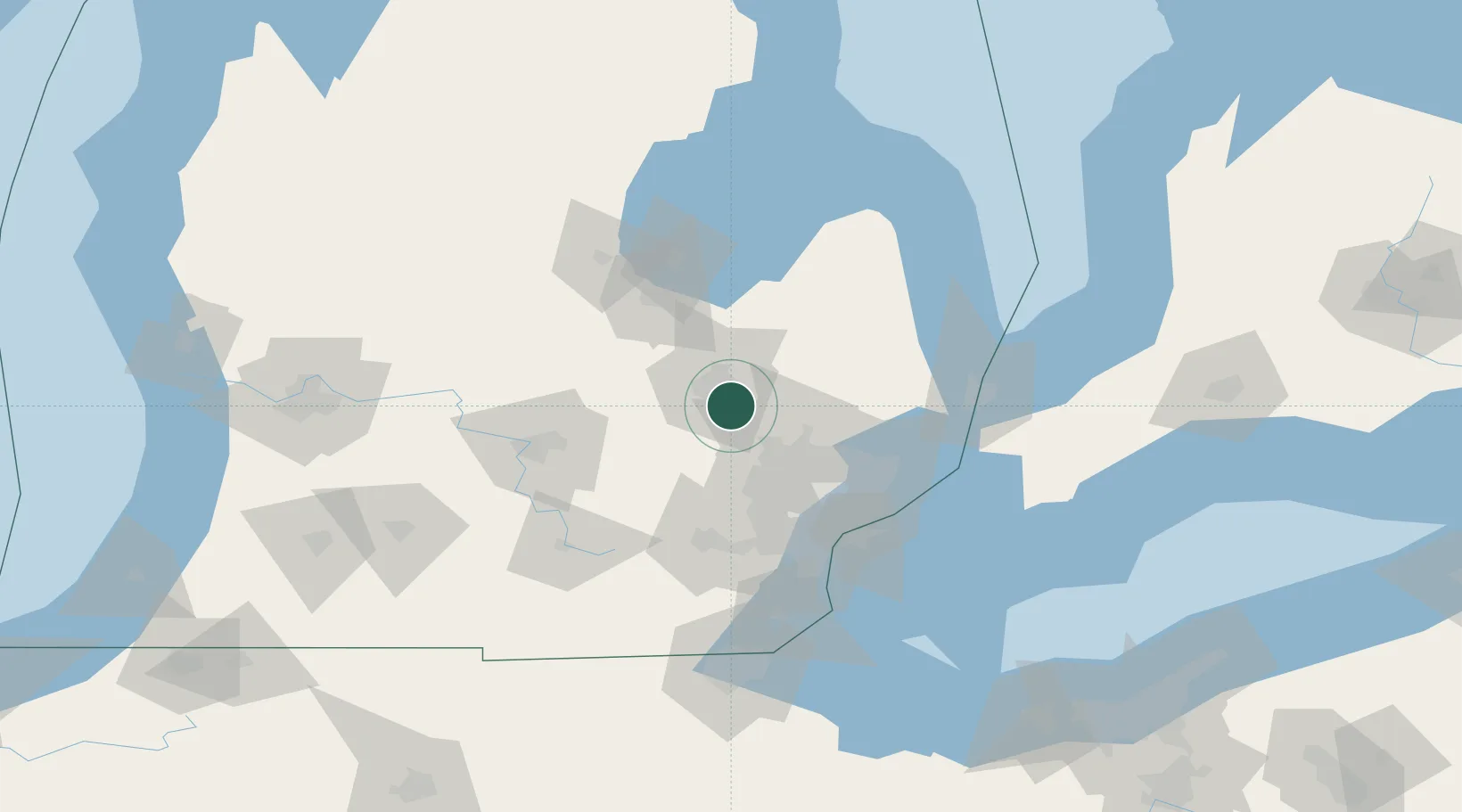
Grand Blanc
42.9167°, -83.6167°
7,993
Population
4
Transport functions
Transport Functions
Port
Rail
Road
Multimodal
Hub Profile
Place type
Populated place
Region
Michigan
Population
7,993
Time zone
America/Detroit
Elevation
256 m
Location
Nearby Logistics Neighbours
Cities
- 1Davison14 km
- 2Davisburg20 km
- 3Oakwood, Oakland24 km
- 4White Lake27 km
- 5Metamora27 km
Airports
Trade Zones
DatabookThe Record of Consolidated Knowledge
United States beyond logistics?