Transport Functions
Rail
Road
Multimodal
Hub Profile
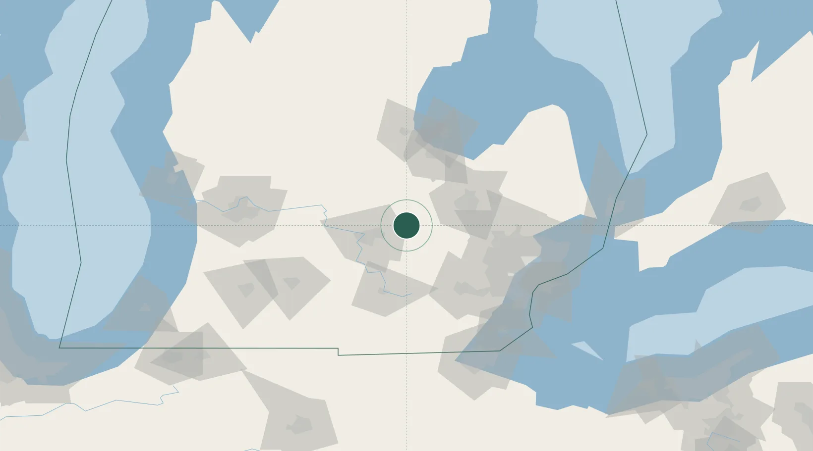
Place type
Populated place
Region
Michigan
Population
2,100
Time zone
America/Detroit
Elevation
271 m
Location
Nearby Logistics Neighbours
Cities
- 1Williamston16 km
- 2Okemos20 km
- 3Durand22 km
- 4Fowlerville22 km
- 5East Lansing24 km
Airports
Trade Zones
- 1FTZ No. 284 Genesee County29 km
- 2FTZ No. 140 Flint43 km
- 3FTZ No. 101 Clinton County45 km
- 4FTZ No. 070 Detroit95 km
- 5FTZ No. 043 Battle Creek102 km
DatabookThe Record of Consolidated Knowledge
United States beyond logistics?