UN/LOCODE hub · United States
USDSS
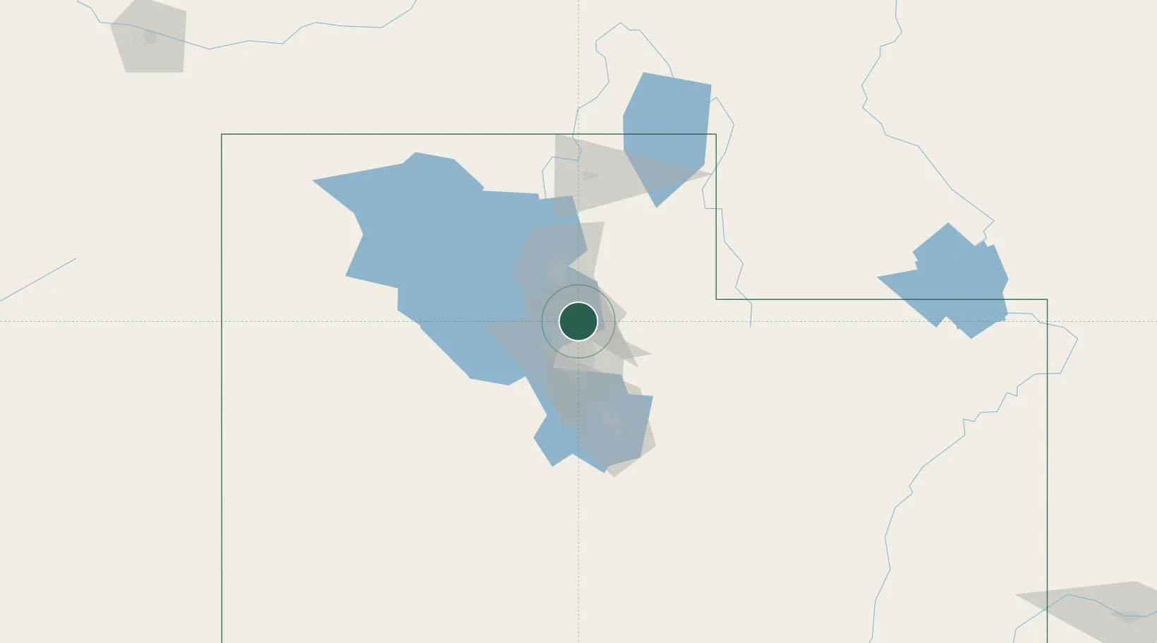
Woods Cross
40.8667°, -111.8833°
11,284
Population
2
Transport functions
Transport Functions
Rail
Road
Hub Profile
Place type
Populated place
Region
Utah
Population
11,284
Time zone
America/Denver
Elevation
1,334 m
Location
Nearby Logistics Neighbours
Cities
- 1Centerville6 km
- 2South Salt Lake17 km
- 3Kaysville19 km
- 4West Valley City19 km
- 5Layton23 km
Ports
- 1Sacramento860 km
- 2Stockton871 km
- 3Courtland876 km
- 4Walnut Grove876 km
- 5Isleton885 km
Airports
Trade Zones
- 1FTZ No. 030 Salt Lake City14 km
- 2FTZ No. 280 Ada and Canyon Counties517 km
- 3FTZ No. 274 Butte-Silver Bow566 km
- 4FTZ No. 275 Lansing575 km
- 5FTZ No. 298 Jefferson County584 km
DatabookThe Record of Consolidated Knowledge
United States beyond logistics?