UN/LOCODE hub · United States
USWVC
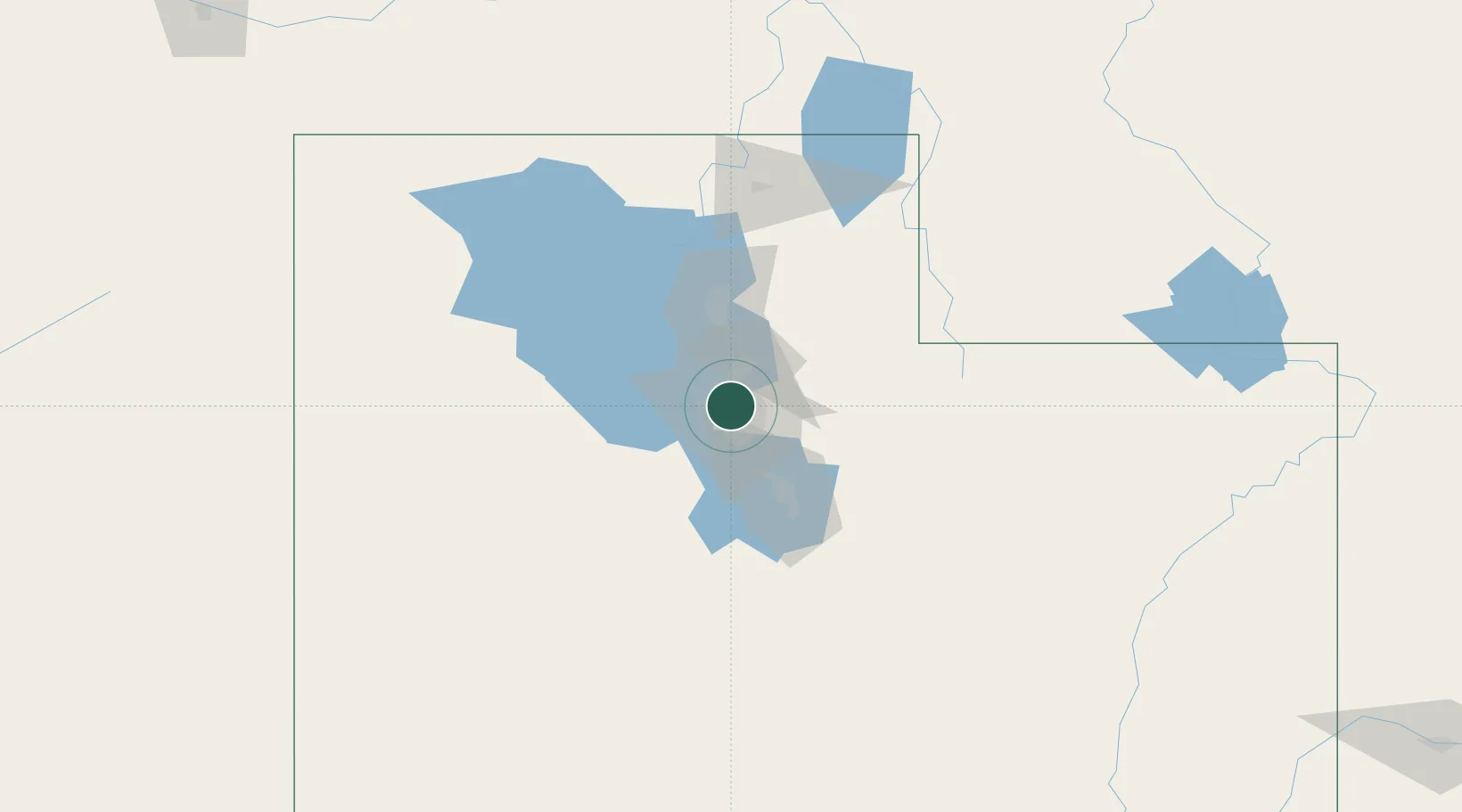
West Valley City
40.7000°, -111.9500°
136,208
Population
2
Transport functions
Transport Functions
Rail
Road
Hub Profile
Place type
Populated place
Region
Utah
Population
136,208
Time zone
America/Denver
Elevation
1,312 m
Location
Nearby Logistics Neighbours
Cities
- 1South Salt Lake6 km
- 2West Jordan9 km
- 3South Jordan17 km
- 4Riverton19 km
- 5Woods Cross19 km
Ports
- 1Sacramento850 km
- 2Stockton860 km
- 3Walnut Grove865 km
- 4Courtland865 km
- 5Isleton875 km
Airports
Trade Zones
DatabookThe Record of Consolidated Knowledge
United States beyond logistics?