UN/LOCODE hub · United States
USS8K

South Salt Lake

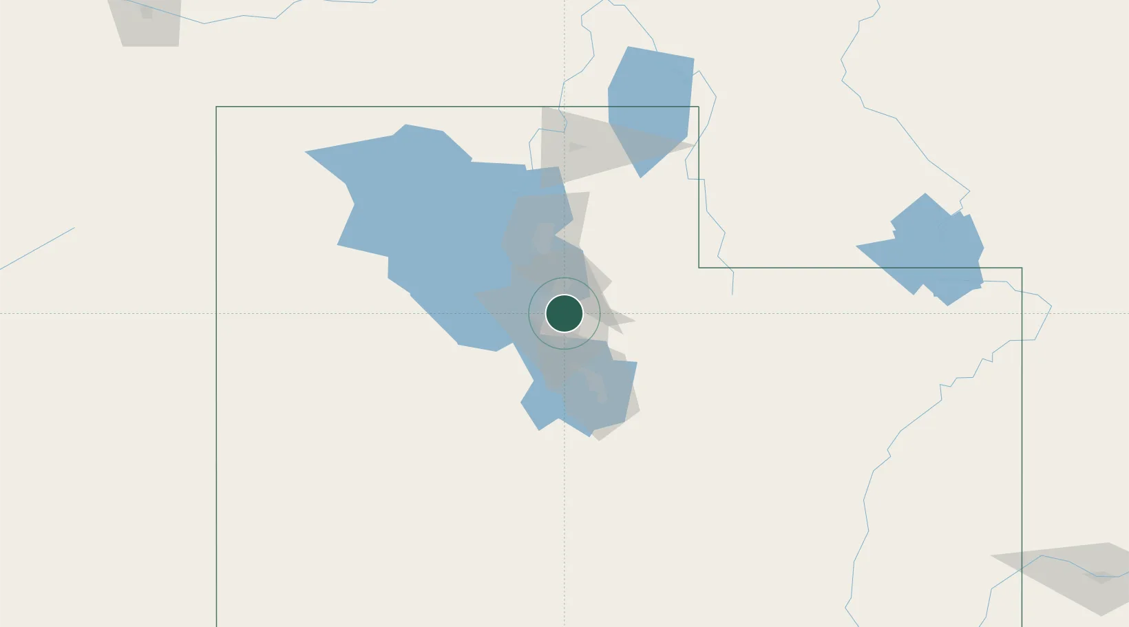
40.7167°, -111.8833°
24,788
Population
2
Transport functions

Transport Functions

Port
Road
UN/LOCODE

Hub Profile

Place type
Populated place
GeoNames
Region
Utah
GeoNames
Population
24,788
GeoNames
Time zone
America/Denver
GeoNames
Elevation
1,297 m
GeoNames

Location

Location of USS8K
Natural Earth 10m (public domain) · Utah · USS8K · 40.72, -111.88GoogleOSMYandex

Nearby Logistics Neighbours

Cities
  1. 1West Valley City6 km
  2. 2West Jordan13 km
  3. 3Woods Cross17 km
  4. 4South Jordan19 km
  5. 5Riverton21 km
Nearest neighbours — logibook spatial index (haversine) over the source coordinates
Ports
  1. 1Sacramento856 km
  2. 2Stockton866 km
  3. 3Walnut Grove871 km
  4. 4Courtland871 km
  5. 5Isleton881 km
Nearest neighbours — logibook spatial index (haversine) over the source coordinates
Airports
  1. 1Salt Lake City International Airport11 km
  2. 2South Valley Regional Airport14 km
  3. 3Hill Air Force Base46 km
  4. 4Ogden Hinckley Airport54 km
  5. 5Provo Municipal Airport57 km
Nearest neighbours — logibook spatial index (haversine) over the source coordinates
Trade Zones
  1. 1FTZ No. 030 Salt Lake City11 km
  2. 2FTZ No. 280 Ada and Canyon Counties527 km
  3. 3FTZ No. 298 Jefferson County581 km
  4. 4FTZ No. 274 Butte-Silver Bow583 km
  5. 5FTZ No. 275 Lansing591 km
Nearest neighbours — logibook spatial index (haversine) over the source coordinates
DatabookThe Record of Consolidated Knowledge
United States beyond logistics?
Browse databook

All Sources

LocationsUN/LOCODE
UN/LOCODE — free
LocationsGeoNames
CC BY 4.0
Portsthe NGA World Port Index
Public domain (US gov)
AirportsOurAirports
Public domain
Trade Zonesthe World Bank SEZ database
CC BY 4.0
Trade ZonesOpen Zone Map
CC BY
← United States locations