UN/LOCODE hub · United States
USFTS
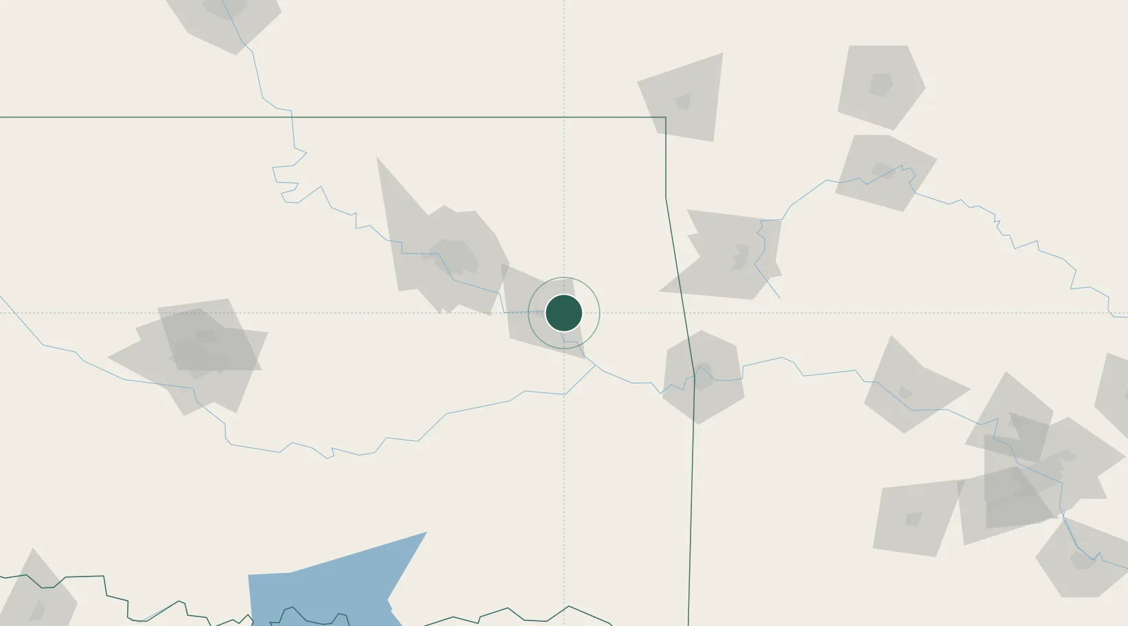
Fort Gibson
35.7833°, -95.2500°
4,083
Population
3
Transport functions
Transport Functions
Rail
Road
Multimodal
Hub Profile
Place type
Populated place
Region
Oklahoma
Population
4,083
Time zone
America/Chicago
Elevation
172 m
Location
Nearby Logistics Neighbours
Ports
- 1Port Of Memphis467 km
- 2Beaumont643 km
- 3Lake Charles646 km
- 4Orange649 km
- 5Port Neches654 km
Airports
- 1Tulsa Riverside Airport72 km
- 2Tulsa International Airport73 km
- 3Fort Smith Regional Airport94 km
- 4Drake Field100 km
- 5Northwest Arkansas National Airport101 km
Trade Zones
- 1FTZ No. 164 Muskogee18 km
- 2FTZ No. 053 Rogers County82 km
- 3FTZ No. 106 Oklahoma City208 km
- 4FTZ No. 227 Durant224 km
- 5FTZ No. 225 Springfield245 km
DatabookThe Record of Consolidated Knowledge
United States beyond logistics?