UN/LOCODE hub · United States
USWGE

Wagoner

35.9500°, -95.3667°
8,713
Population
3
Transport functions

Transport Functions

Rail
Road
Multimodal
UN/LOCODE

Hub Profile

Place type
Provincial seat
GeoNames
Region
Oklahoma
GeoNames
Population
8,713
GeoNames
Time zone
America/Chicago
GeoNames
Elevation
180 m
GeoNames

Location

Location of USWGE
Natural Earth 10m (public domain) · Oklahoma · USWGE · 35.95, -95.37GoogleOSMYandex

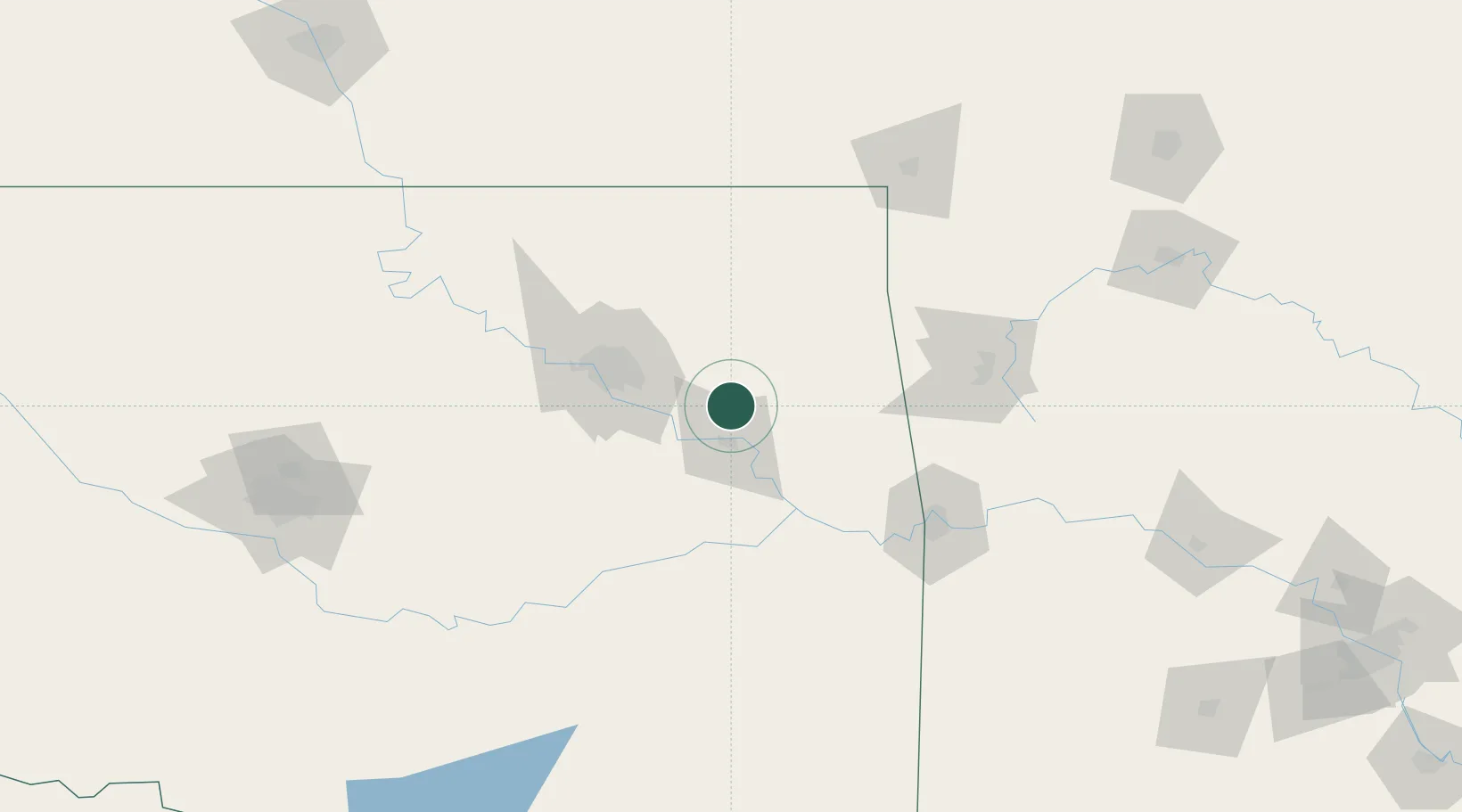
Nearby Logistics Neighbours

Cities
  1. 1Hulbert21 km
  2. 2Fort Gibson21 km
  3. 3Haskell31 km
  4. 4Claremore44 km
  5. 5Jenks55 km
Nearest neighbours — logibook spatial index (haversine) over the source coordinates
Ports
  1. 1Port Of Memphis481 km
  2. 2Beaumont663 km
  3. 3Lake Charles667 km
  4. 4Orange670 km
  5. 5Port Neches675 km
Nearest neighbours — logibook spatial index (haversine) over the source coordinates
Airports
  1. 1Tulsa International Airport54 km
  2. 2Tulsa Riverside Airport57 km
  3. 3Northwest Arkansas National Airport102 km
  4. 4Drake Field108 km
  5. 5Fort Smith Regional Airport113 km
Nearest neighbours — logibook spatial index (haversine) over the source coordinates
Trade Zones
  1. 1FTZ No. 164 Muskogee25 km
  2. 2FTZ No. 053 Rogers County61 km
  3. 3FTZ No. 106 Oklahoma City202 km
  4. 4FTZ No. 227 Durant236 km
  5. 5FTZ No. 225 Springfield242 km
Nearest neighbours — logibook spatial index (haversine) over the source coordinates
DatabookThe Record of Consolidated Knowledge
United States beyond logistics?
Browse databook

All Sources

LocationsUN/LOCODE
UN/LOCODE — free
LocationsGeoNames
CC BY 4.0
Portsthe NGA World Port Index
Public domain (US gov)
AirportsOurAirports
Public domain
Trade Zonesthe World Bank SEZ database
CC BY 4.0
Trade ZonesOpen Zone Map
CC BY
← United States locations