Transport Functions
Road
Multimodal
Hub Profile
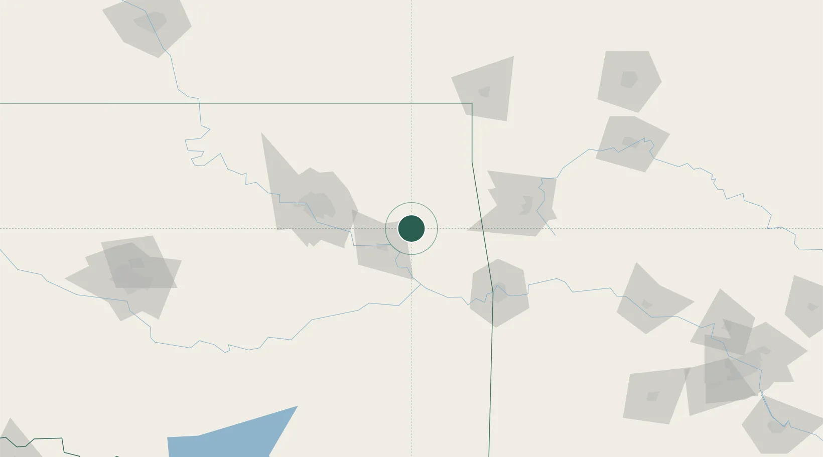
Place type
Populated place
Region
Oklahoma
Population
603
Time zone
America/Chicago
Elevation
191 m
Location
Nearby Logistics Neighbours
Cities
- 1Fort Gibson20 km
- 2Wagoner21 km
- 3Stilwell47 km
- 4Haskell50 km
- 5Westville51 km
Ports
- 1Port Of Memphis460 km
- 2Beaumont658 km
- 3Lake Charles659 km
- 4Orange663 km
- 5Port Neches669 km
Airports
Trade Zones
- 1FTZ No. 164 Muskogee36 km
- 2FTZ No. 053 Rogers County79 km
- 3FTZ No. 106 Oklahoma City222 km
- 4FTZ No. 225 Springfield226 km
- 5FTZ No. 227 Durant243 km
DatabookThe Record of Consolidated Knowledge
United States beyond logistics?