Transport Functions
Rail
Road
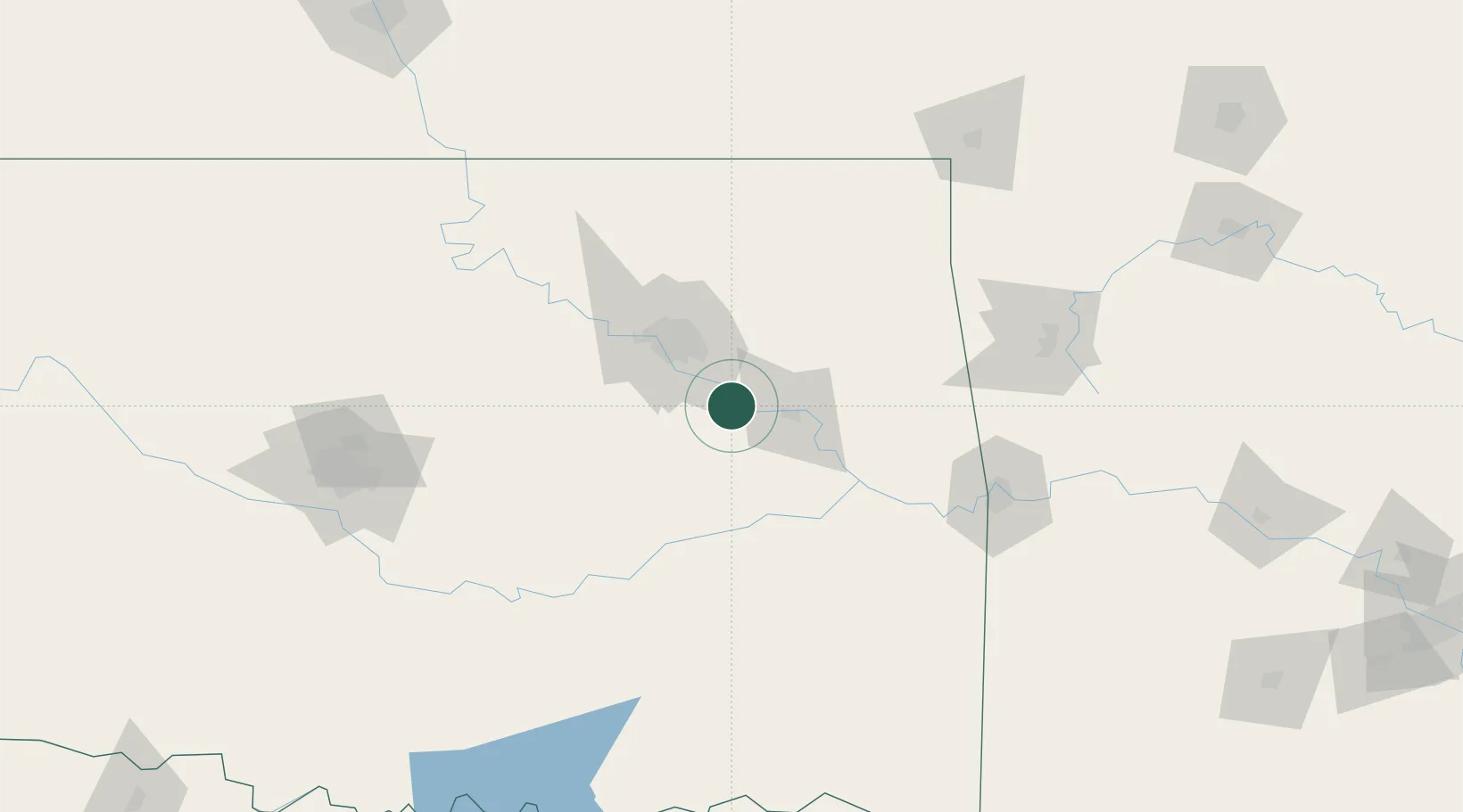
Hub Profile
Place type
Populated place
Region
Oklahoma
Population
1,979
Time zone
America/Chicago
Elevation
175 m
Location
Nearby Logistics Neighbours
Cities
- 1Wagoner31 km
- 2Jenks35 km
- 3Beggs37 km
- 4Fort Gibson38 km
- 5Kiefer39 km
Ports
- 1Port Of Memphis505 km
- 2Beaumont654 km
- 3Lake Charles662 km
- 4Orange663 km
- 5Port Neches666 km
Airports
Trade Zones
- 1FTZ No. 164 Muskogee23 km
- 2FTZ No. 053 Rogers County60 km
- 3FTZ No. 106 Oklahoma City172 km
- 4FTZ No. 227 Durant212 km
- 5FTZ No. 225 Springfield272 km
DatabookThe Record of Consolidated Knowledge
United States beyond logistics?