Transport Functions
Rail
Road
Hub Profile
Place type
Populated place
Region
British Columbia
Population
1,141
Time zone
America/Vancouver
Elevation
670 m
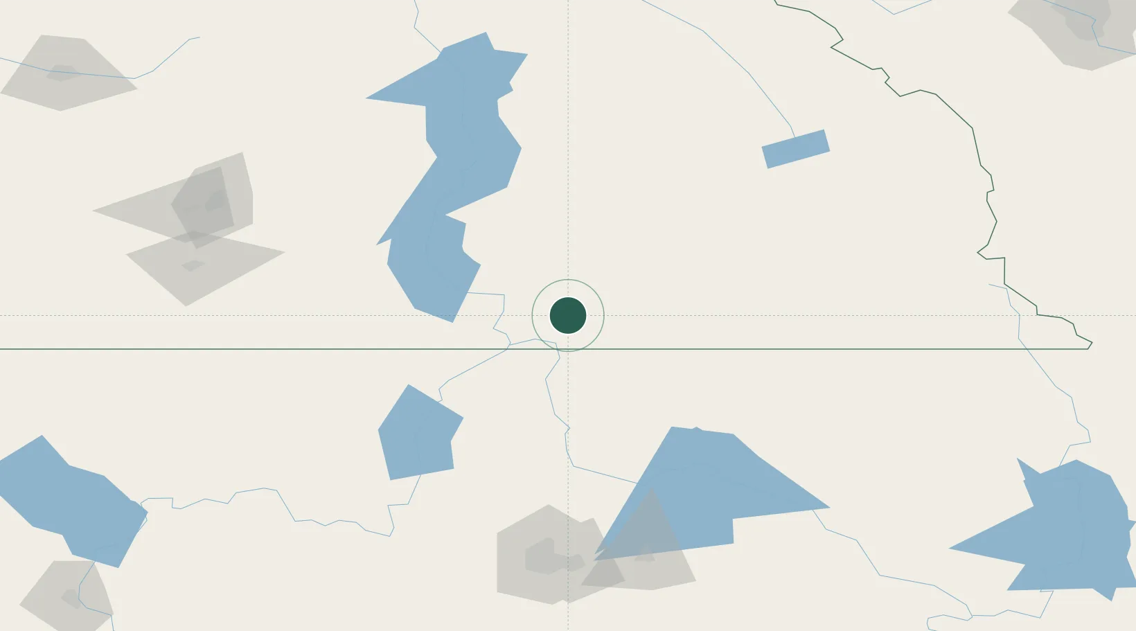
Location
Nearby Logistics Neighbours
Ports
- 1Mission City363 km
- 2Bellingham385 km
- 3Everett388 km
- 4Mukilteo395 km
- 5Anacortes399 km
Airports
Trade Zones
- 1FTZ No. 242 Boundary County60 km
- 2FTZ No. 224 Spokane171 km
- 3FTZ No. 203 Moses Lake277 km
- 4Calgary Region Inland Port307 km
- 5FTZ No. 187 Toole County369 km
DatabookThe Record of Consolidated Knowledge
Canada beyond logistics?