UN/LOCODE hub · United States
USVAO

Avon

39.7559°, -86.3692°
16,451
Population
3
Transport functions

Transport Functions

Rail
Road
Multimodal
UN/LOCODE

Hub Profile

Place type
Populated place
GeoNames
Region
Indiana
GeoNames
Population
16,451
GeoNames
Time zone
America/Indiana/Indianapolis
GeoNames
Elevation
254 m
GeoNames
Logistics facilities
1
UN/LOCODE

Location

Location of USVAO
Natural Earth 10m (public domain) · Indiana · USVAO · 39.76, -86.37GoogleOSMYandex

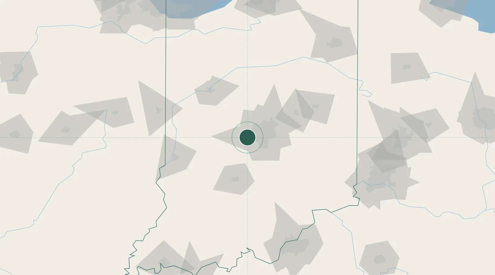
Nearby Logistics Neighbours

Cities
  1. 1Brownsburg9 km
  2. 2Camby11 km
  3. 3Danville13 km
  4. 4Clayton15 km
  5. 5Lizton21 km
Nearest neighbours — logibook spatial index (haversine) over the source coordinates
Ports
  1. 1Gary222 km
  2. 2Michigan City224 km
  3. 3Indiana Harbor231 km
  4. 4Calumet Harbor240 km
  5. 5Chicago258 km
Nearest neighbours — logibook spatial index (haversine) over the source coordinates
Airports
  1. 1Indianapolis International Airport8 km
  2. 2Columbus Municipal Airport68 km
  3. 3Monroe County Airport71 km
  4. 4Terre Haute Regional Airport, Hulman Field87 km
  5. 5Purdue University Airport88 km
Nearest neighbours — logibook spatial index (haversine) over the source coordinates
Trade Zones
  1. 1FTZ No. 072 Indianapolis6 km
  2. 2FTZ No. 047 Boone County155 km
  3. 3FTZ No. 029 Louisville173 km
  4. 4FTZ No. 182 Fort Wayne174 km
  5. 5FTZ No. 046 CIncinnati175 km
Nearest neighbours — logibook spatial index (haversine) over the source coordinates
DatabookThe Record of Consolidated Knowledge
United States beyond logistics?
Browse databook

All Sources

LocationsUN/LOCODE
UN/LOCODE — free
LocationsGeoNames
CC BY 4.0
Portsthe NGA World Port Index
Public domain (US gov)
AirportsOurAirports
Public domain
Trade Zonesthe World Bank SEZ database
CC BY 4.0
Trade ZonesOpen Zone Map
CC BY
← United States locations