UN/LOCODE hub · United States
USBWB
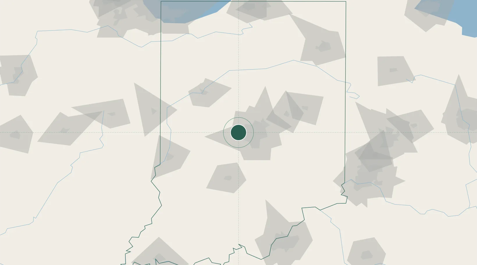
Brownsburg
39.8333°, -86.3833°
24,996
Population
4
Transport functions
Transport Functions
Port
Rail
Road
Airport
Hub Profile
Place type
Populated place
Region
Indiana
Population
24,996
Time zone
America/Indiana/Indianapolis
Elevation
269 m
Location
Nearby Logistics Neighbours
Cities
- 1Avon9 km
- 2Whitestown13 km
- 3Danville15 km
- 4Lizton15 km
- 5Zionsville17 km
Ports
- 1Gary214 km
- 2Michigan City216 km
- 3Indiana Harbor222 km
- 4Calumet Harbor232 km
- 5Chicago250 km
Airports
Trade Zones
- 1FTZ No. 072 Indianapolis14 km
- 2FTZ No. 047 Boone County161 km
- 3FTZ No. 182 Fort Wayne167 km
- 4FTZ No. 100 Dayton179 km
- 5FTZ No. 046 CIncinnati180 km
DatabookThe Record of Consolidated Knowledge
United States beyond logistics?