Transport Functions
Road
Multimodal
Hub Profile
Place type
Populated place
Region
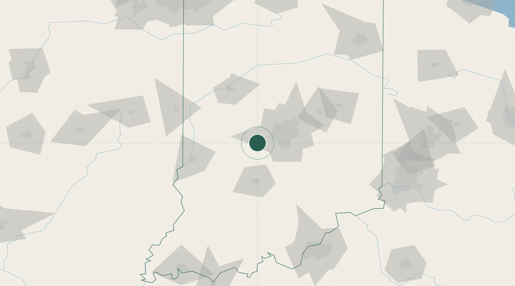
Indiana
Population
995
Time zone
America/Indiana/Indianapolis
Elevation
267 m
Location
Nearby Logistics Neighbours
Cities
- 1Danville7 km
- 2Avon15 km
- 3Camby17 km
- 4Brownsburg20 km
- 5Lizton22 km
Ports
- 1Gary226 km
- 2Michigan City230 km
- 3Indiana Harbor234 km
- 4Calumet Harbor243 km
- 5Chicago261 km
Airports
Trade Zones
- 1FTZ No. 072 Indianapolis18 km
- 2FTZ No. 047 Boone County161 km
- 3FTZ No. 029 Louisville169 km
- 4FTZ No. 046 CIncinnati184 km
- 5FTZ No. 182 Fort Wayne187 km
DatabookThe Record of Consolidated Knowledge
United States beyond logistics?