Transport Functions
Rail
Road
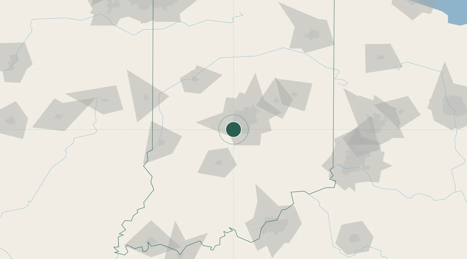
Hub Profile
Place type
Populated place
Region
Indiana
Time zone
America/Indiana/Indianapolis
Elevation
235 m
Location
Nearby Logistics Neighbours
Cities
- 1Avon11 km
- 2Waterloo, Johnson16 km
- 3Clayton17 km
- 4Southport17 km
- 5Brownsburg19 km
Ports
- 1Gary233 km
- 2Michigan City235 km
- 3Indiana Harbor242 km
- 4Calumet Harbor251 km
- 5Chicago269 km
Airports
Trade Zones
- 1FTZ No. 072 Indianapolis6 km
- 2FTZ No. 047 Boone County146 km
- 3FTZ No. 029 Louisville162 km
- 4FTZ No. 046 CIncinnati167 km
- 5FTZ No. 100 Dayton174 km
DatabookThe Record of Consolidated Knowledge
United States beyond logistics?