UN/LOCODE hub · United States
USDLI
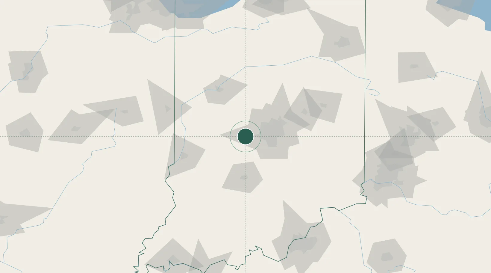
Danville
39.7500°, -86.5167°
9,614
Population
2
Transport functions
Transport Functions
Rail
Road
Hub Profile
Place type
Provincial seat
Region
Indiana
Population
9,614
Time zone
America/Indiana/Indianapolis
Elevation
291 m
Location
Nearby Logistics Neighbours
Cities
- 1Clayton7 km
- 2Avon13 km
- 3Brownsburg15 km
- 4Lizton15 km
- 5Camby20 km
Ports
- 1Gary219 km
- 2Michigan City223 km
- 3Indiana Harbor227 km
- 4Calumet Harbor236 km
- 5Chicago254 km
Airports
Trade Zones
- 1FTZ No. 072 Indianapolis18 km
- 2FTZ No. 047 Boone County165 km
- 3FTZ No. 029 Louisville176 km
- 4FTZ No. 182 Fort Wayne181 km
- 5FTZ No. 046 CIncinnati187 km
DatabookThe Record of Consolidated Knowledge
United States beyond logistics?