Transport Functions
Road
Multimodal
Hub Profile
Place type
Populated place
Region
Texas
Population
1,149
Time zone
America/Chicago
Elevation
119 m
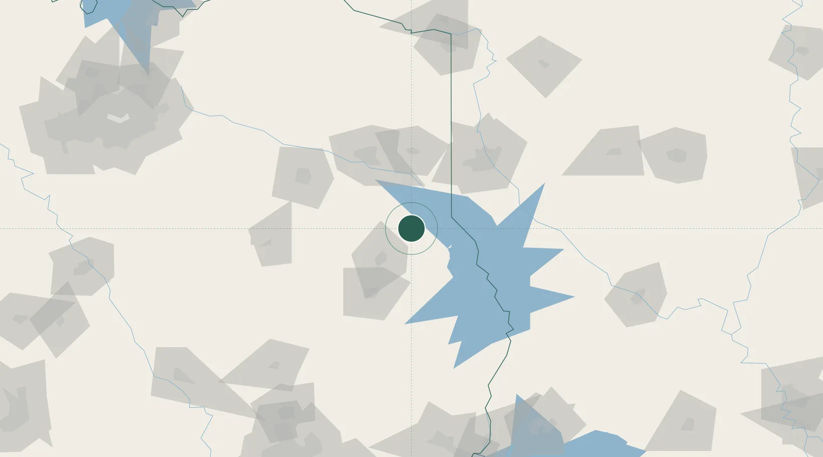
Location
Nearby Logistics Neighbours
Cities
- 1Gary13 km
- 2Cushing44 km
- 3San Augustine50 km
- 4Trenton63 km
- 5Mansfield66 km
Ports
- 1Beaumont204 km
- 2Orange211 km
- 3Port Neches215 km
- 4Lake Charles216 km
- 5Port Arthur233 km
Airports
Trade Zones
- 1FTZ No. 145 Shreveport74 km
- 2FTZ No. 146 Lawrence County74 km
- 3FTZ No. 297 Lufkin75 km
- 4FTZ No. 234 Gregg County85 km
- 5FTZ No. 269 Athens146 km
DatabookThe Record of Consolidated Knowledge
United States beyond logistics?