UN/LOCODE hub · United States
USNBH
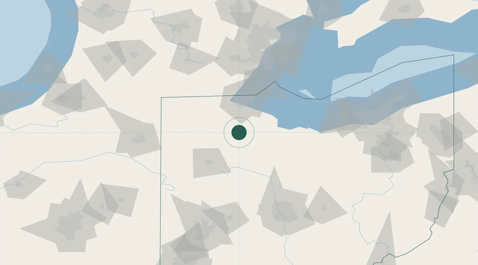
North Baltimore
41.1833°, -83.6667°
3,545
Population
3
Transport functions
Transport Functions
Rail
Road
Multimodal
Hub Profile
Place type
Populated place
Region
Ohio
Population
3,545
Time zone
America/New_York
Elevation
223 m
Location
Nearby Logistics Neighbours
Cities
- 1New Britain5 km
- 2McCombs14 km
- 3Custar18 km
- 4Deshler18 km
- 5Weston19 km
Ports
- 1Toledo60 km
- 2Port Clinton72 km
- 3Monroe83 km
- 4Sandusky85 km
- 5Put In Bay88 km
Airports
Trade Zones
- 1FTZ No. 151 Findlay16 km
- 2FTZ No. 008 Toledo54 km
- 3FTZ No. 070 Detroit135 km
- 4FTZ No. 182 Fort Wayne137 km
- 5Windsor - Essex Foreign Trade Zone137 km
DatabookThe Record of Consolidated Knowledge
United States beyond logistics?