UN/LOCODE hub · United States
USNXB
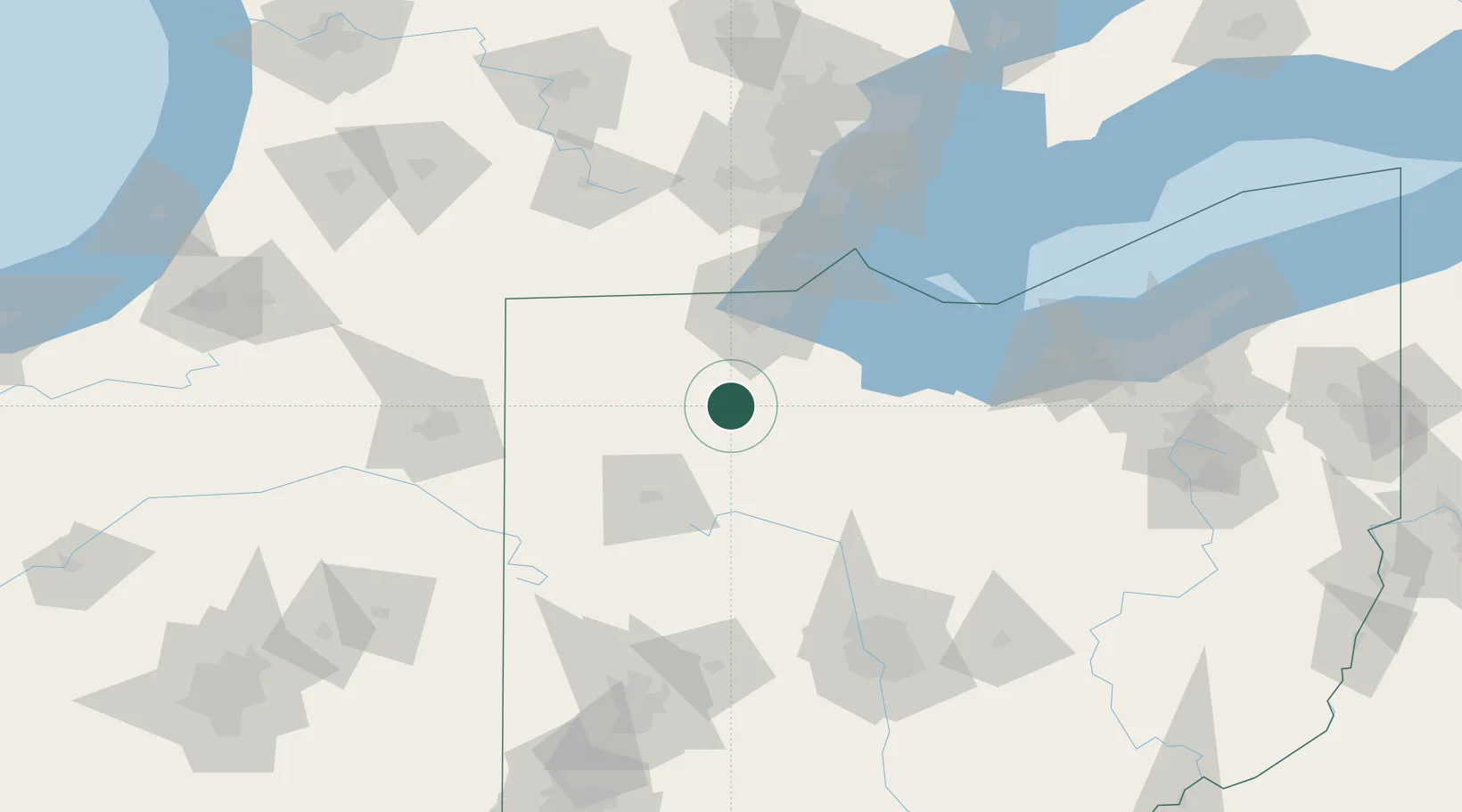
New Britain
41.1832°, -83.7270°
3,017
Population
2
Transport functions
Transport Functions
Rail
Road
Hub Profile
Place type
Populated place
Region
Pennsylvania
Population
3,017
Time zone
America/New_York
Elevation
88 m
Logistics facilities
1
Location
Nearby Logistics Neighbours
Cities
- 1North Baltimore5 km
- 2McCombs10 km
- 3Deshler13 km
- 4Custar14 km
- 5Weston17 km
Ports
- 1Toledo61 km
- 2Port Clinton76 km
- 3Monroe85 km
- 4Sandusky89 km
- 5Put In Bay92 km
Airports
Trade Zones
- 1FTZ No. 151 Findlay16 km
- 2FTZ No. 008 Toledo55 km
- 3FTZ No. 182 Fort Wayne132 km
- 4FTZ No. 070 Detroit136 km
- 5Windsor - Essex Foreign Trade Zone139 km
DatabookThe Record of Consolidated Knowledge
United States beyond logistics?