Transport Functions
Port
Rail
Road
Hub Profile
Place type
Populated place
Region
Ohio
Population
1,781
Time zone
America/New_York
Elevation
216 m
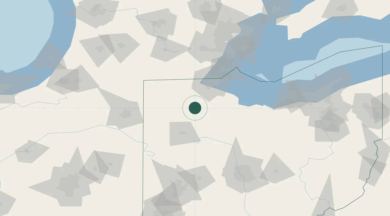
Location
Nearby Logistics Neighbours
Cities
- 1Custar10 km
- 2New Britain13 km
- 3McCombs14 km
- 4Weston17 km
- 5North Baltimore18 km
Ports
- 1Toledo66 km
- 2Port Clinton87 km
- 3Monroe89 km
- 4Sandusky101 km
- 5Put In Bay102 km
Airports
Trade Zones
- 1FTZ No. 151 Findlay23 km
- 2FTZ No. 008 Toledo58 km
- 3FTZ No. 182 Fort Wayne119 km
- 4FTZ No. 070 Detroit139 km
- 5Windsor - Essex Foreign Trade Zone143 km
DatabookThe Record of Consolidated Knowledge
United States beyond logistics?