Transport Functions
Road
Multimodal
Hub Profile
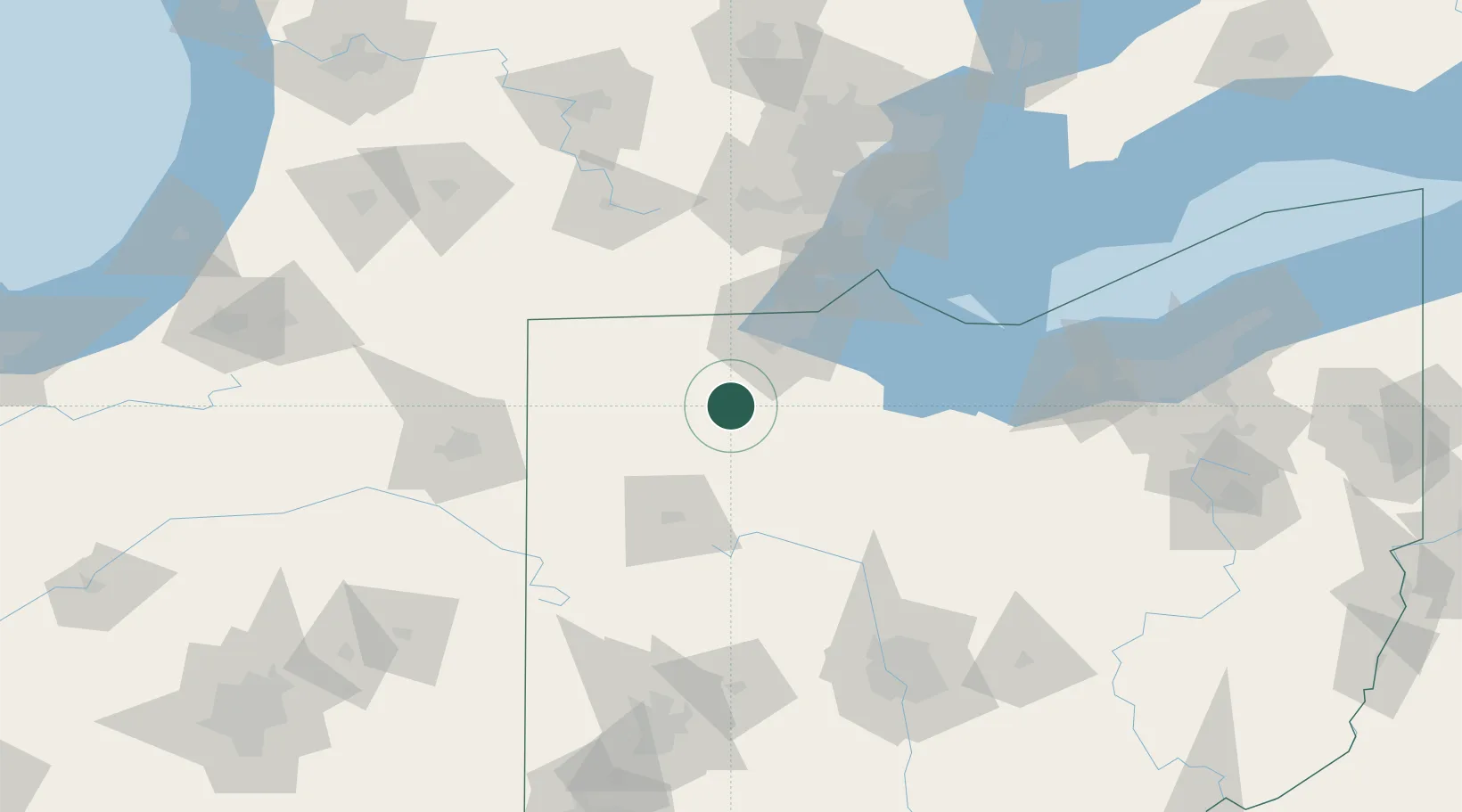
Place type
Populated place
Region
Ohio
Population
183
Time zone
America/New_York
Elevation
211 m
Location
Nearby Logistics Neighbours
Cities
- 1Weston7 km
- 2Deshler10 km
- 3New Britain14 km
- 4North Baltimore18 km
- 5McCombs21 km
Ports
- 1Toledo56 km
- 2Monroe79 km
- 3Port Clinton79 km
- 4Put In Bay94 km
- 5Sandusky95 km
Airports
Trade Zones
- 1FTZ No. 151 Findlay29 km
- 2FTZ No. 008 Toledo48 km
- 3FTZ No. 182 Fort Wayne124 km
- 4FTZ No. 070 Detroit129 km
- 5Windsor - Essex Foreign Trade Zone133 km
DatabookThe Record of Consolidated Knowledge
United States beyond logistics?