UN/LOCODE hub · United States
USOEV
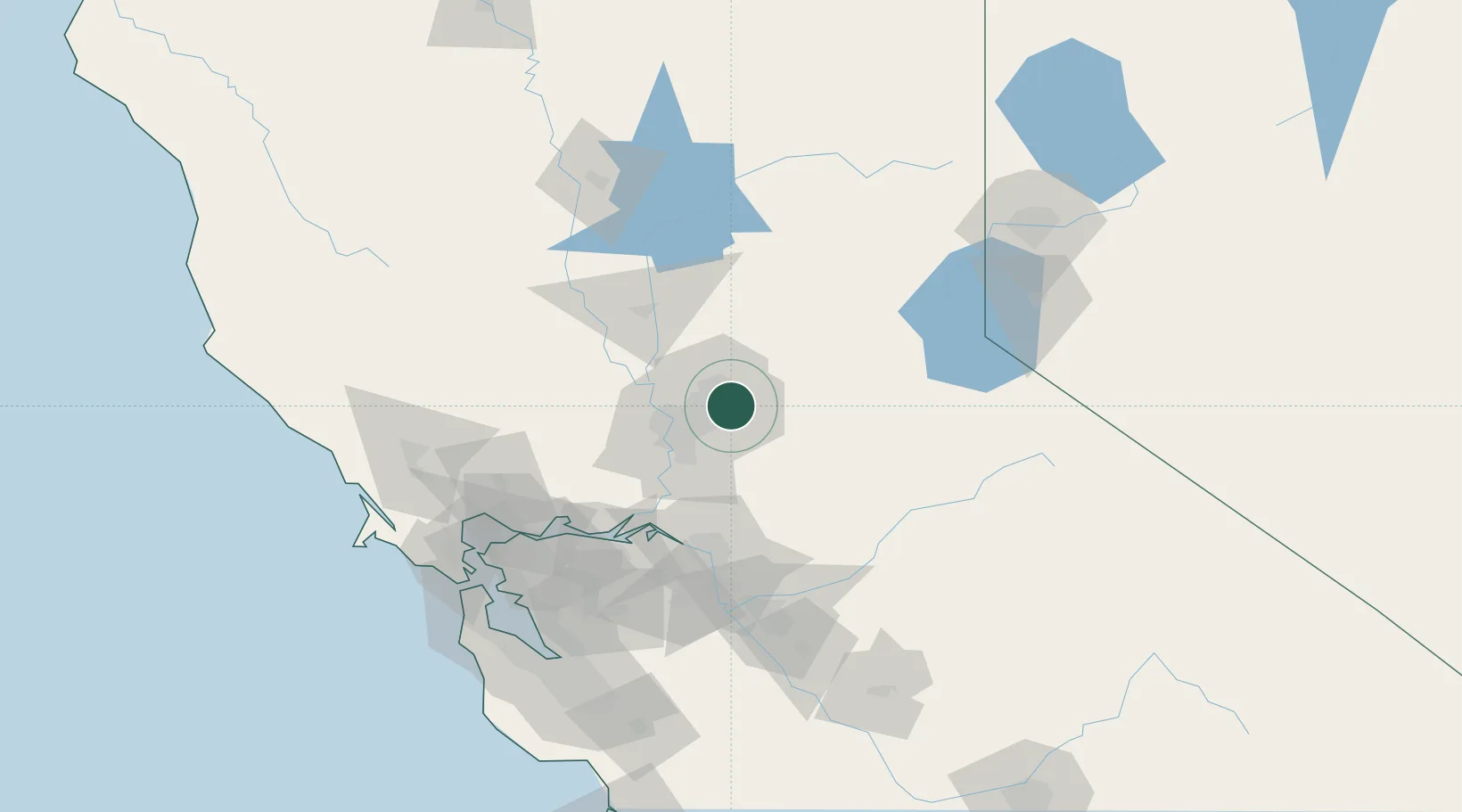
Orangevale
38.6667°, -121.2167°
33,960
Population
2
Transport functions
Transport Functions
Road
Multimodal
Hub Profile
Place type
Populated place
Region
California
Population
33,960
Time zone
America/Los_Angeles
Elevation
73 m
Location
Nearby Logistics Neighbours
Cities
- 1Gold River9 km
- 2Granite Bay12 km
- 3El Dorado Hills13 km
- 4McClellan Air Force Base16 km
- 5Rescue23 km
Ports
- 1Sacramento26 km
- 2Courtland48 km
- 3Walnut Grove55 km
- 4Isleton65 km
- 5Rio Vista71 km
Airports
Trade Zones
- 1FTZ No. 143 West Sacramento28 km
- 2FTZ No. 231 Stockton80 km
- 3FTZ No. 056 Oakland133 km
- 4FTZ No. 003 San Francisco141 km
- 5FTZ No. 018 San Jose159 km
DatabookThe Record of Consolidated Knowledge
United States beyond logistics?