UN/LOCODE hub · United States
USSYR
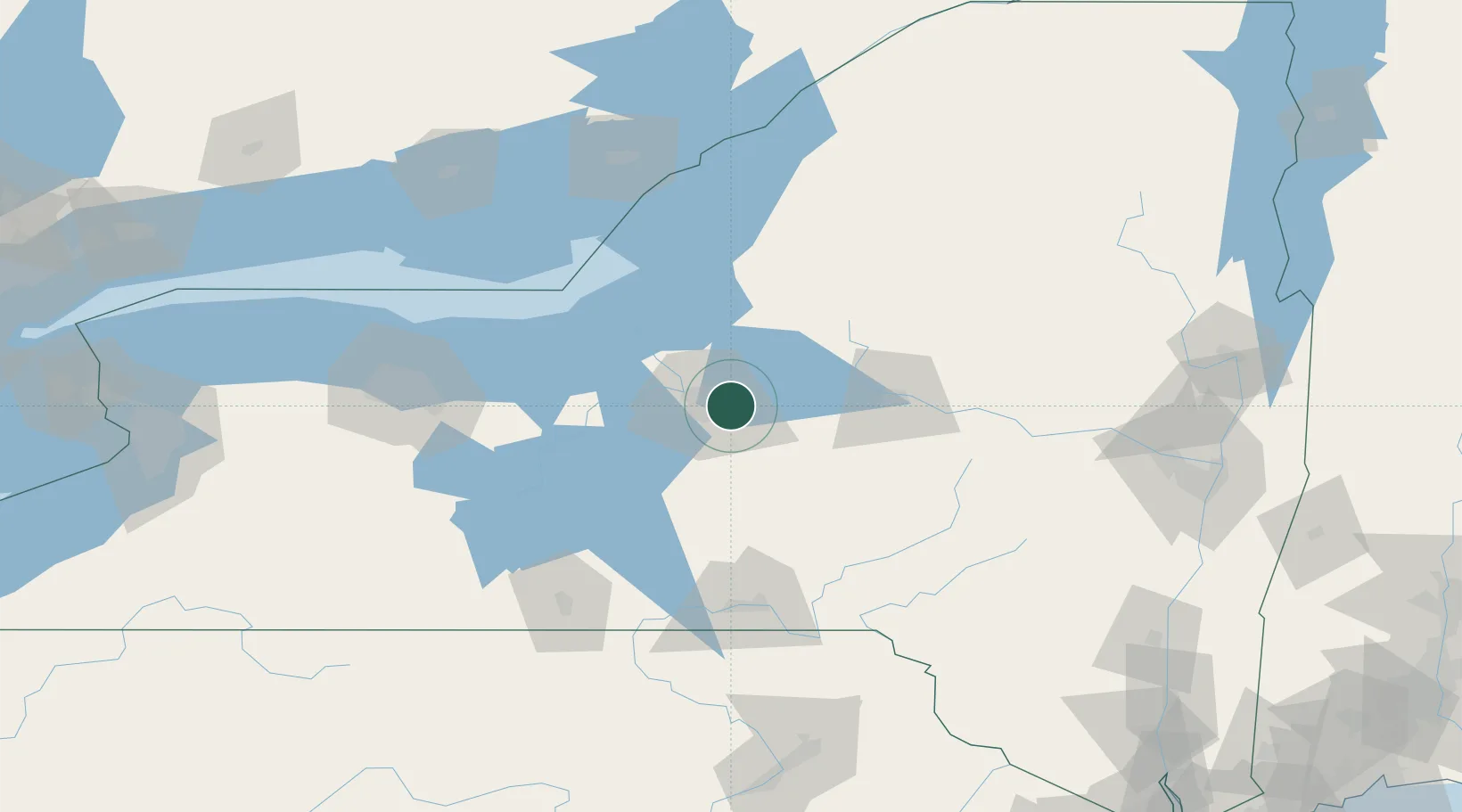
Syracuse
43.0717°, -76.0351°
144,142
Population
2
Transport functions
Transport Functions
Port
Airport
Hub Profile
Place type
Provincial seat
Region
New York
Population
144,142
Time zone
America/New_York
Elevation
121 m
Logistics facilities
1
Location
Nearby Logistics Neighbours
Cities
- 1Manlius10 km
- 2Bridgeport10 km
- 3Solvay14 km
- 4Cazenovia22 km
- 5Camillus22 km
Ports
- 1Oswego59 km
- 2Sodus Bay80 km
- 3Rochester129 km
- 4Clayton129 km
- 5Wolfe Island130 km
Airports
Trade Zones
- 1FTZ No. 172 Oneida County19 km
- 2FTZ No. 090 Onondaga59 km
- 3FTZ No. 109 Watertown102 km
- 4FTZ No. 289 Ontario County128 km
- 5FTZ No. 141 Monroe County158 km
DatabookThe Record of Consolidated Knowledge
United States beyond logistics?