UN/LOCODE hub · United States
USBDB
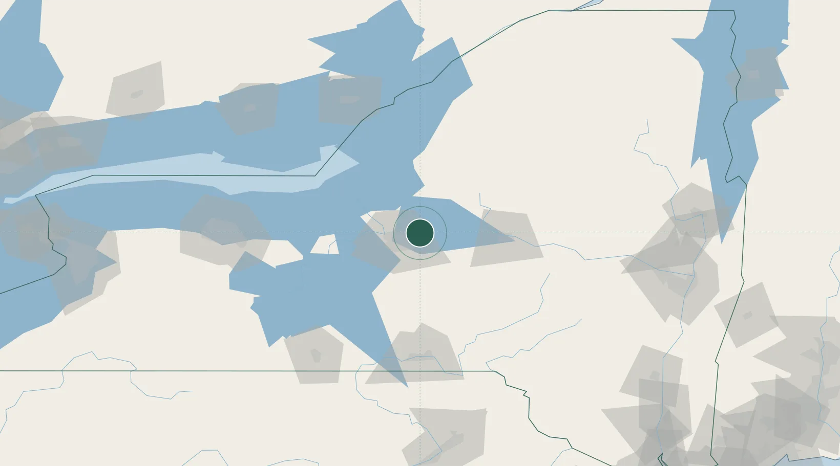
Bridgeport
43.1500°, -75.9667°
1,490
Population
2
Transport functions
Transport Functions
Port
Road
Hub Profile
Place type
Populated place
Region
New York
Population
1,490
Time zone
America/New_York
Elevation
119 m
Location
Nearby Logistics Neighbours
Ports
- 1Oswego57 km
- 2Sodus Bay83 km
- 3Clayton121 km
- 4Wolfe Island123 km
- 5Kingston128 km
Airports
Trade Zones
- 1FTZ No. 172 Oneida County11 km
- 2FTZ No. 090 Onondaga58 km
- 3FTZ No. 109 Watertown93 km
- 4FTZ No. 289 Ontario County136 km
- 5FTZ No. 141 Monroe County163 km
DatabookThe Record of Consolidated Knowledge
United States beyond logistics?