Large airport · United States
San Francisco Bay Oakland International AirportKOAK
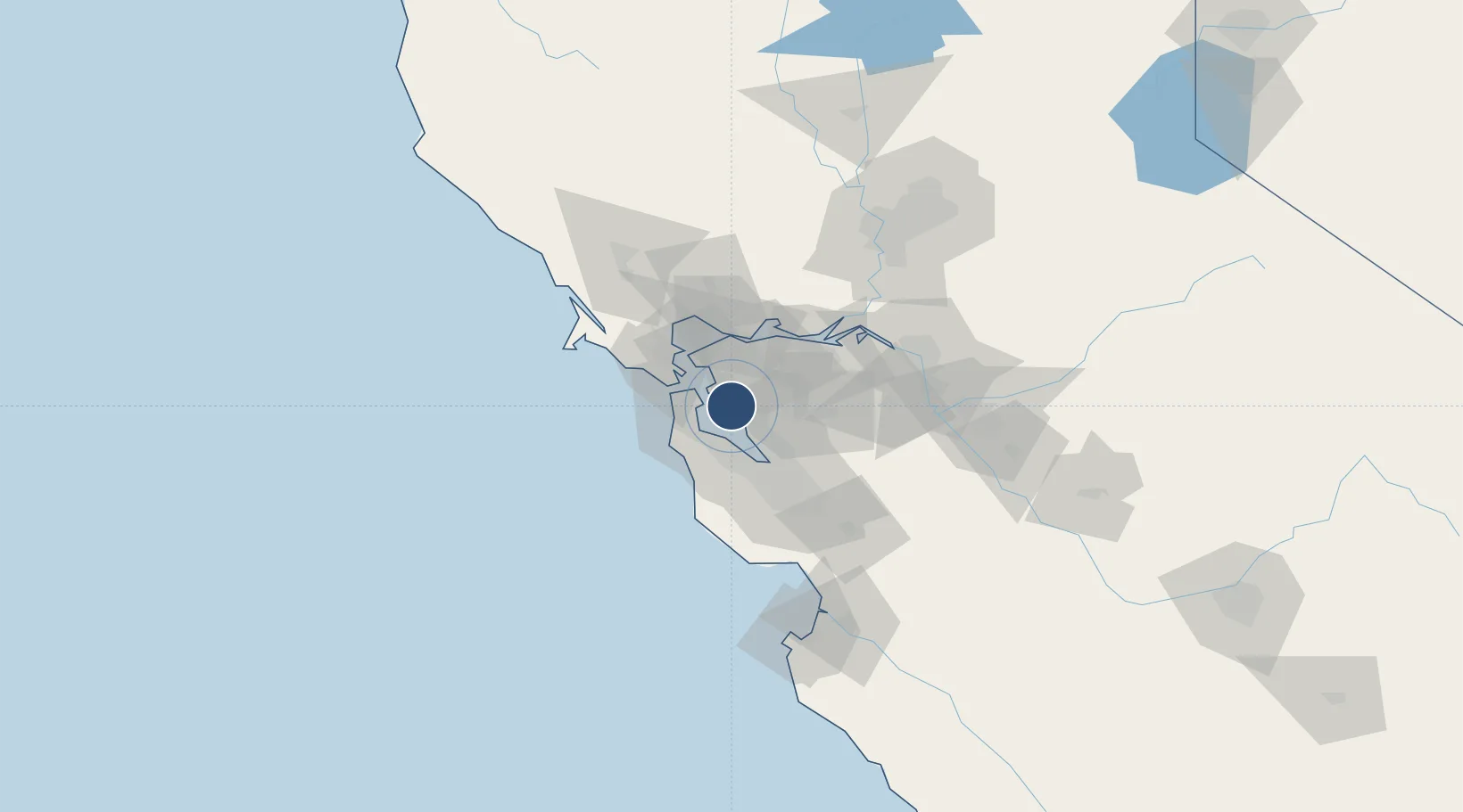
37.7201°, -122.2212°
10,520 ft
Longest runway
4
Runways
9 ft
Elevation
Runway & Layout

Radio Frequencies
ATIS
133.775 MHz
TWR
118.3 MHz
OAKLAND TWR
GND
121.75 MHz
CLD
121.1 MHz
CLNC DEL
APP
31.76 MHz
NORCAL APP
APP
125.35 MHz
NORCAL APP
DEP
120.9 MHz
NORCAL DEP
RDO
122 MHz
OAKLAND RDO
UNIC
122.95 MHz
UNICOM
Navaids
OAK VORTAC Oakland 116.80 MHz
Runways · 4
| Runway | Dimensions | Surface | True heading | Lit |
|---|---|---|---|---|
| 12/30 | 10,520 × 150ft | Asphalt | 130° | ✓ |
| 10R/28L | 6,213 × 150ft | Asphalt | 112° | ✓ |
| 10L/28R | 5,457 × 150ft | Asphalt | 112° | ✓ |
| 15/33 | 3,376 × 75ft | Asphalt | 165° | ✓ |
Airport Specifications
IATA code
OAK
ICAO code
KOAK
Airport class
Large airport
Scheduled service
Yes
Runway surface
Asphalt
Served city
Oakland
Location
Nearby Logistics Neighbours
Airports
- 1San Francisco International Airport18 km
- 2San Carlos Airport23 km
- 3Palo Alto Airport30 km
- 4Buchanan Field33 km
- 5Moffett Federal Airfield37 km
Cities
- 1Alameda8 km
- 2Oakland8 km
- 3San Lorenzo10 km
- 4San Francisco13 km
- 5Hayward15 km
Ports
- 1Alameda8 km
- 2Oakland15 km
- 3Berkeley18 km
- 4San Francisco20 km
- 5Redwood City21 km
Trade Zones
- 1FTZ No. 056 Oakland11 km
- 2FTZ No. 003 San Francisco18 km
- 3FTZ No. 018 San Jose52 km
- 4FTZ No. 231 Stockton83 km
- 5FTZ No. 143 West Sacramento114 km
DatabookThe Record of Consolidated Knowledge
United States beyond logistics?