UN/LOCODE hub · United States
USSJC
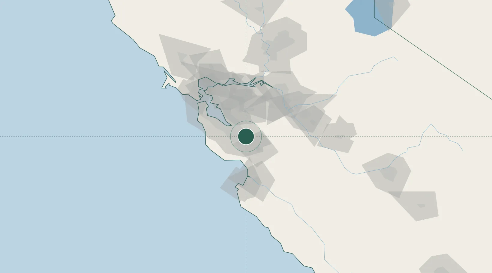
San Jose
37.3048°, -121.8267°
997,368
Population
2
Transport functions
Transport Functions
Port
Airport
Hub Profile
Place type
Provincial seat
Region
California
Population
997,368
Time zone
America/Los_Angeles
Elevation
26 m
Logistics facilities
3
Location
Nearby Logistics Neighbours
Cities
- 1Guadalupe13 km
- 2Sunol31 km
- 3Felton35 km
- 4Mount Hermon35 km
- 5Corralitos36 km
Ports
- 1Santa Cruz41 km
- 2Redwood City42 km
- 3Davenport46 km
- 4Moss56 km
- 5Alameda66 km
Airports
Trade Zones
DatabookThe Record of Consolidated Knowledge
United States beyond logistics?