UN/LOCODE hub · United States
USWDZ
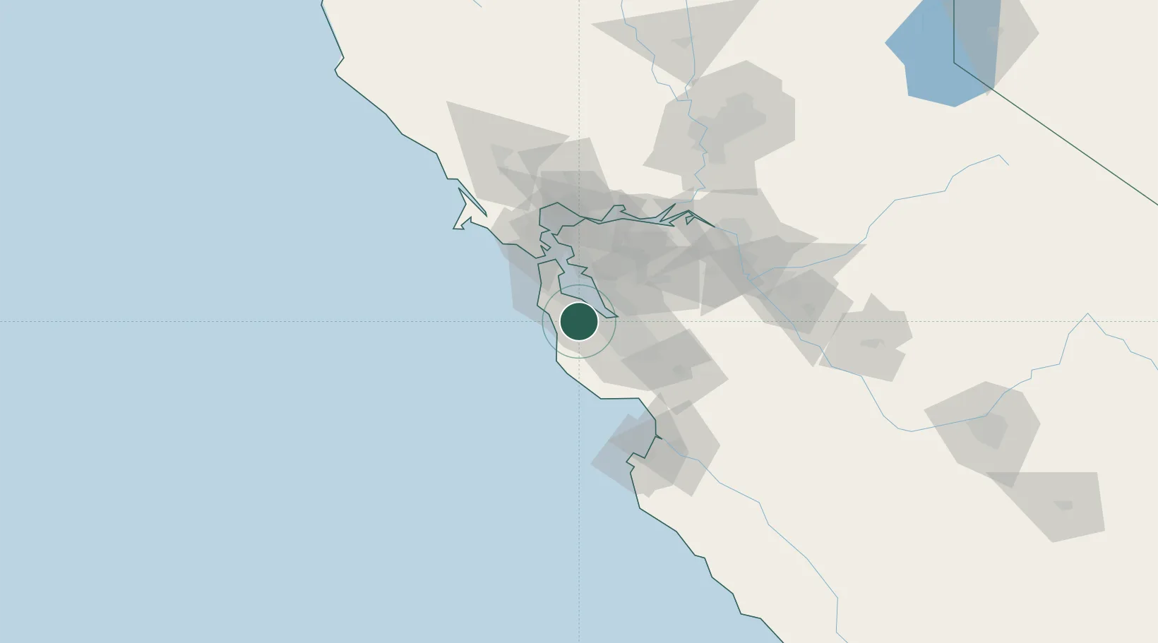
Woodside
37.4333°, -122.2667°
5,561
Population
3
Transport functions
Transport Functions
Port
Road
Multimodal
Hub Profile
Place type
Populated place
Region
California
Population
5,561
Time zone
America/Los_Angeles
Elevation
118 m
Location
Nearby Logistics Neighbours
Cities
- 1Portola Valley6 km
- 2Moss Beach23 km
- 3Hayward26 km
- 4San Lorenzo31 km
- 5Sunol38 km
Ports
- 1Redwood City13 km
- 2Alameda39 km
- 3Oakland43 km
- 4San Francisco45 km
- 5Davenport47 km
Airports
Trade Zones
- 1FTZ No. 018 San Jose35 km
- 2FTZ No. 056 Oakland41 km
- 3FTZ No. 003 San Francisco42 km
- 4FTZ No. 231 Stockton101 km
- 5FTZ No. 143 West Sacramento143 km
DatabookThe Record of Consolidated Knowledge
United States beyond logistics?